
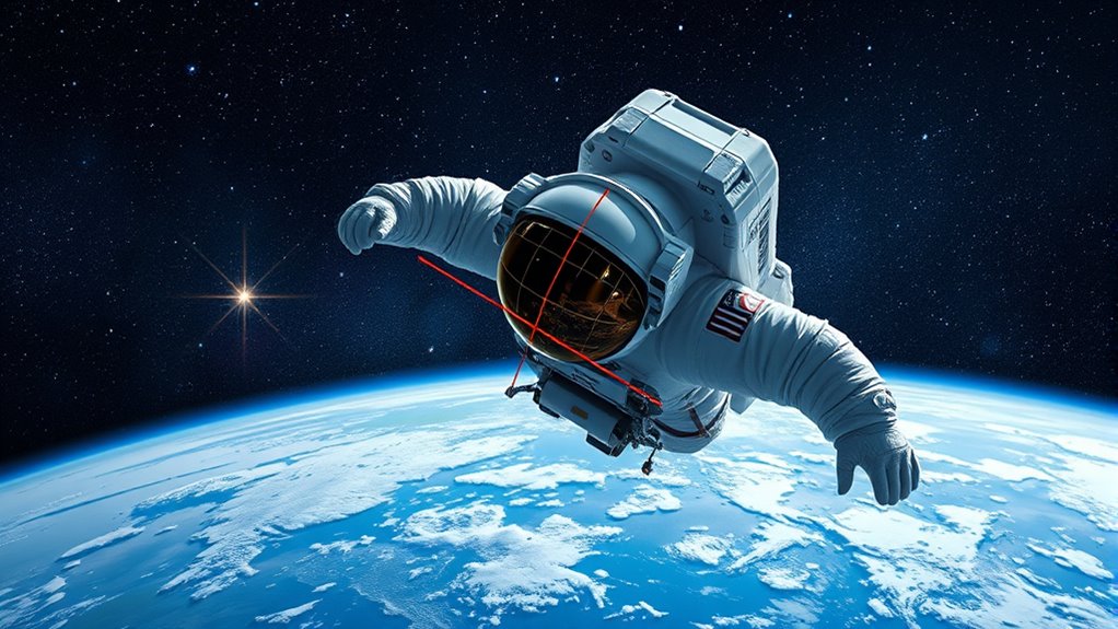
To navigate space like an astronaut, you use 3D coordinate geometry to determine precise positions and paths. By understanding points, vectors, and distances in three dimensions, you can chart safe routes and maneuver effectively. Vector equations help you define trajectories, while calculating distances guarantees efficient travel between points. Mastering these concepts lets you plot courses and avoid obstacles confidently. Keep exploring these principles to open the skills needed for space navigation.
Key Takeaways
- Use vector equations to define paths by combining starting points with direction vectors.
- Calculate distances between points in space with the 3D distance formula to plan routes.
- Interpret vector components to understand object movement and orientation in space.
- Apply spatial relationships to navigate around obstacles and optimize travel paths.
- Visualize space trajectories using vectors for precise maneuvering like an astronaut.
3D coordinate geometry is the branch of mathematics that studies points, lines, and shapes in three-dimensional space using coordinates. When you’re exploring this vast universe, understanding how to describe positions and find distances is essential. You’ll often use vector equations to represent lines and paths in space, which serve as precise tools for navigation and analysis. These equations are like your coordinates’ blueprints, allowing you to define a line passing through a point with a specific direction. For instance, a vector equation takes a point’s position vector and adds a scalar multiple of a direction vector, enabling you to describe any point along that line. This approach simplifies complex spatial relationships, making it easier to visualize and manipulate objects in space. Additionally, understanding how to interpret the components of vectors helps you better analyze the geometry of space and movement. The distance formula in 3D is another critical concept you’ll rely on. It helps you calculate the straight-line distance between two points, which is essential when you’re measuring how far apart objects are in space. To compute this, you take the difference between the x, y, and z coordinates of the two points, square each difference, and then take the square root of their sum. This formula extends the familiar 2D distance concept into three dimensions, giving you an exact measure of the space between objects. Whether you’re plotting a course for a satellite or analyzing the position of an asteroid, knowing how to accurately determine distances is fundamental.
Imagine you’re guiding through a three-dimensional environment, like an astronaut traversing a space station or exploring an asteroid’s surface. You can use vector equations to chart your path, specifying a starting point and a direction, ensuring you stay on course. By plugging in the coordinates of your current position and desired destination into the distance formula, you can determine how far you need to travel. This combination of tools allows you to plan efficient routes, avoid obstacles, and understand spatial relationships with precision. As you become more comfortable with vector equations, you’ll find it easier to describe complex trajectories and analyze the geometry of objects in space. Mastering spatial relationships in 3D space enhances your ability to navigate and manipulate objects with confidence and accuracy.
Mastering 3D coordinate geometry equips you with the essential mathematical language needed to navigate space like an astronaut. From defining lines with vector equations to measuring distances with the distance formula, these concepts form the backbone of spatial understanding. Whether you’re plotting a spacecraft’s route or analyzing the structure of celestial bodies, these tools help you interpret and manipulate the three-dimensional universe with clarity and confidence. As you deepen your grasp of these techniques, you’ll gain a more intuitive sense of how objects relate and move within the expansive universe of 3D space.
Frequently Asked Questions
How Do 3D Coordinates Apply in Real-World Navigation Systems?
You rely on 3D coordinates in real-world navigation systems to pinpoint your location accurately. GPS accuracy depends on precise coordinate transformations that convert satellite signals into usable position data. These systems use latitude, longitude, and altitude to guide you, ensuring safe travels. By understanding how 3D coordinates work, you can better grasp how your device navigates complex environments and provides reliable directions, even in challenging conditions.
Can 3D Coordinate Geometry Predict Future Spacecraft Trajectories?
Imagine you’re the captain plotting a course through a starry ocean. 3D coordinate geometry acts as your compass, guiding spacecraft simulations to predict future trajectories. It helps you see where your craft will go, avoiding obstacles and ensuring a smooth journey. By analyzing current positions and velocities, it accurately forecasts future paths, making trajectory prediction reliable. This math is your navigational secret to exploring space confidently and safely.
What Are Common Challenges in Visualizing 3D Space Coordinates?
When visualizing 3D space coordinates, you might struggle with depth perception and projection distortions. These challenges make it hard to accurately interpret spatial relationships, especially on 2D screens or maps. You need to rely on proper visualization techniques and tools to overcome these issues. Understanding how depth perception works and recognizing projection distortions help you better grasp three-dimensional space, improving navigation and decision-making in complex environments.
How Does 3D Coordinate Geometry Relate to Virtual Reality Environments?
In virtual environments, 3D coordinate geometry helps you understand and navigate space seamlessly. It relies on coordinate mapping to accurately place objects and avatars within the virtual world. By using x, y, and z axes, you can move freely and interact naturally, making the experience more immersive. This mathematical framework guarantees that every movement and interaction feels realistic, bridging the gap between digital and physical worlds.
Are There Advanced Tools for Precise 3D Space Mapping Beyond Basic Graphs?
Did you know that over 80% of mapping data today comes from advanced tools? Yes, laser scanning and drone mapping are game-changers, offering precise 3D space mapping beyond basic graphs. These tools capture detailed spatial data quickly, enabling accurate models for construction, archaeology, and navigation. You can now access highly detailed, real-time 3D maps, making navigation and spatial analysis much more efficient and reliable than ever before.
Conclusion
Now that you’ve charted the stars of 3D space, you’re ready to navigate its vast expanse with confidence. Think of coordinate geometry as your cosmic compass, guiding you through infinite possibilities. Just like an astronaut orbits with purpose, you can move seamlessly across planes, lines, and points. Embrace this newfound understanding—your journey through space is a dance of coordinates, a symphony of precision that turns the universe into your playground.