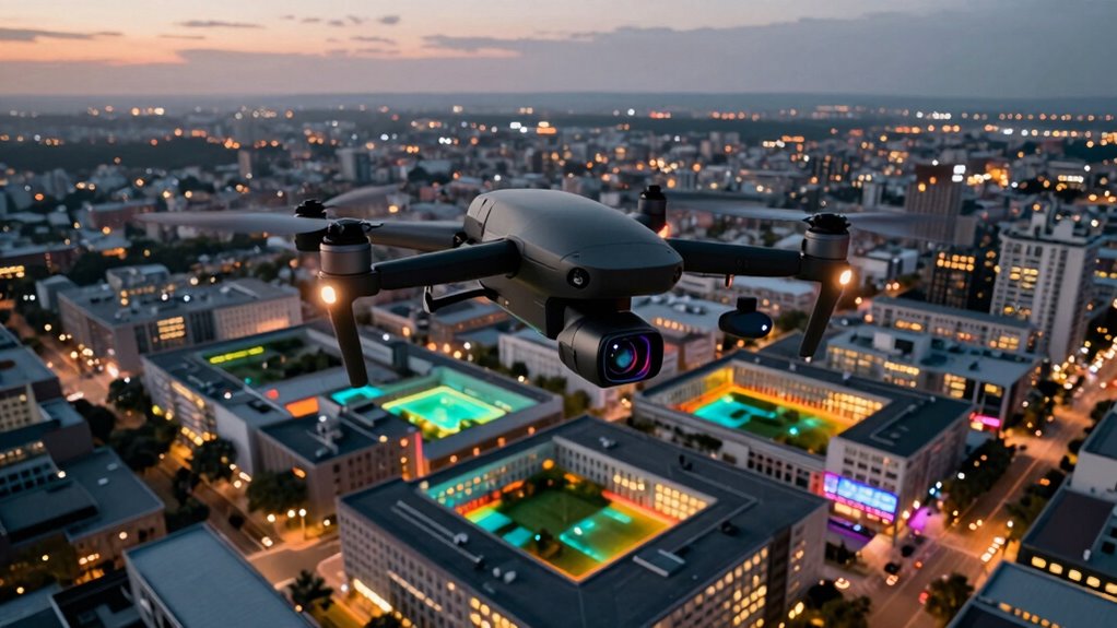
A drone with thermal cameras seamlessly integrates into modern geometry workflows, unlocking new possibilities for precise, real-time spatial analysis that can transform your projects.
How Drone With Thermal Cameras Fit Into a Modern Geometry Workflow