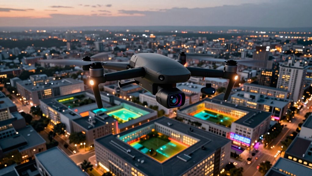
Using drones with thermal cameras in your geometry workflow allows you to collect precise, real-time data from tough-to-reach or hazardous areas. They capture detailed thermal images that help identify underlying issues quickly and accurately. You can seamlessly integrate thermal data with GIS, CAD, and 3D models, improving analysis and reducing errors. This technology speeds up projects and enhances decision-making. Keep exploring to uncover how these tools transform complex spatial tasks into more efficient, reliable processes.
Key Takeaways
- Integrates real-time thermal data into GIS, CAD, and 3D models for comprehensive spatial analysis.
- Enhances inspection accuracy by detecting temperature anomalies inaccessible to traditional methods.
- Accelerates workflows through seamless data merging and visualization, reducing project timelines.
- Enables data collection in hazardous or remote environments, ensuring safety and reliability.
- Supports predictive maintenance and early issue detection with layered thermal and spatial datasets.
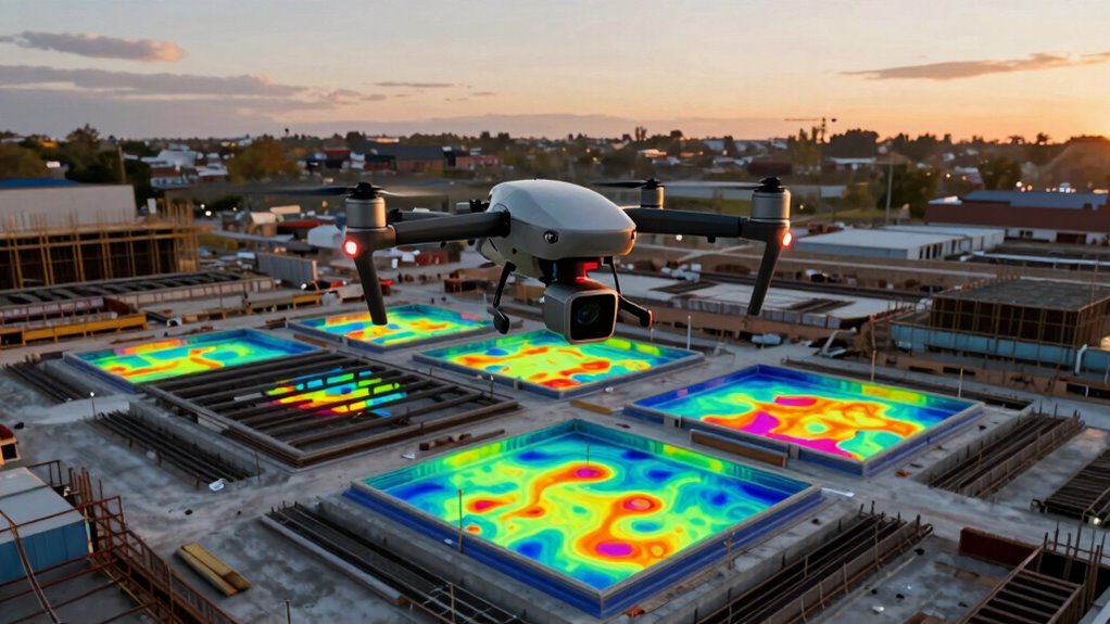
Drones equipped with thermal cameras are revolutionizing the way we approach geometry workflows by providing precise, real-time data from difficult-to-access areas. When you deploy these drones, you gain a powerful tool for capturing thermal imaging data that’s both accurate and detailed. This thermal data is vital for identifying temperature variations across structures, terrain, or infrastructure, which can reveal underlying issues not visible to the naked eye. By integrating thermal imaging into your workflow, you can obtain an all-encompassing picture that combines visual and temperature data, allowing for more informed decision-making.
Data integration plays a key role in maximizing the potential of drone-acquired thermal data. As you collect thermal images, you can seamlessly merge this information with existing GIS layers, topographic maps, and 3D models. This integration enables you to analyze and interpret data in a unified environment, saving time and reducing errors. For example, when inspecting a building or infrastructure, you can overlay thermal images onto CAD models to pinpoint areas of heat loss, moisture intrusion, or electrical faults. This layered approach enhances your ability to assess conditions quickly and accurately, streamlining your entire workflow. Moreover, data fusion techniques amplify the value of combining different data types, leading to more comprehensive insights.
Seamless data merging enhances analysis, accuracy, and efficiency in thermal imaging inspections and infrastructure assessments.
Using thermal imaging from drones also opens new possibilities for data collection in challenging environments. You can access remote or hazardous locations without risking personnel safety or incurring high costs. The thermal cameras mounted on drones can capture detailed temperature data even in difficult terrain or during adverse weather conditions. This capability guarantees that your data collection is thorough and reliable, leading to better planning, design, and maintenance of projects. Additionally, the real-time aspect of drone-based thermal imaging allows you to make immediate observations, adjust flight paths, or focus on specific problem areas during the mission. Incorporating thermal imaging integration further enhances the overall efficiency and effectiveness of your data analysis. Leveraging advanced visualization techniques can also help interpret complex thermal patterns more effectively.
As you incorporate drones with thermal cameras into your geometry workflows, you’ll find that the process becomes more efficient and all-encompassing. The ability to merge thermal imaging with other data sources enhances your analysis, providing insights that traditional methods might overlook. Whether you’re conducting structural inspections, environmental assessments, or infrastructure surveys, the fusion of thermal data and seamless integration accelerates your project timelines and improves accuracy. This advanced technology transforms how you approach complex spatial problems, making your workflows more dynamic, precise, and adaptable to real-world challenges. Furthermore, utilizing thermal data in combination with other spatial datasets can significantly improve predictive maintenance and early problem detection.
As an affiliate, we earn on qualifying purchases.
Frequently Asked Questions
What Are the Limitations of Thermal Drone Imaging in Geometry?
Thermal drone imaging has limitations in geometry workflows, especially in material detection and surface mapping. You might struggle to identify materials with similar thermal properties, reducing accuracy. Also, surface mapping can be affected by environmental factors like weather or reflective surfaces, which distort thermal readings. These limitations mean you need supplementary methods for precise measurements, as thermal imaging alone can’t always provide complete or reliable geometric data.
How Do Weather Conditions Affect Thermal Drone Data Accuracy?
Weather impacts your thermal drone data accuracy by causing thermal interference and temperature variations that distort readings. Humid, windy, or rainy conditions can reduce image clarity and introduce noise, making it harder to interpret thermal signatures reliably. Sunlight and changing temperatures also affect thermal readings, so you should plan flights during stable weather, ideally in calm, dry conditions, to guarantee precise and accurate thermal data collection.
What Software Is Best for Processing Thermal Drone Imagery?
You’ll want software like Pix4Dmapper or DroneDeploy for processing thermal drone imagery. These programs excel at handling thermal resolution data and guarantee accurate results through sensor calibration features. They offer intuitive interfaces and robust tools for analyzing thermal images, helping you visualize temperature differences effectively. By choosing the right software, you ensure your thermal data is precise and actionable, making your workflow more efficient and reliable.
Can Thermal Cameras Detect Subsurface Features in Geometry Surveys?
Thermal cameras mainly detect surface temperature differences and aren’t designed for subsurface detection in geometry surveys. Thermal imaging can reveal subsurface features only if they impact surface temperature or heat flow, which is rare. For accurate subsurface detection, you’d need specialized geophysical tools like ground-penetrating radar. So, while thermal imaging is excellent for surface temperature analysis, it has limited use for subsurface feature detection in geometry surveys.
What Is the Cost Comparison Between Thermal and Standard Drone Sensors?
Think of the cost difference between thermal and standard drone sensors as a balancing act on a tightrope. Thermal cameras typically cost more due to higher thermal resolution and the need for precise sensor calibration, which guarantees accurate temperature readings. Standard sensors are more affordable, but thermal cameras offer unique insights that can justify the investment, especially in applications requiring detailed thermal analysis. Your choice hinges on your project’s specific thermal needs and budget.
thermal imaging drone for inspection
As an affiliate, we earn on qualifying purchases.
As an affiliate, we earn on qualifying purchases.
Conclusion
By integrating drones with thermal cameras into your geometry workflow, you gain precise, real-time data that enhances accuracy and efficiency. This technology has shown to reduce survey times by up to 30%, allowing you to focus on analysis rather than data collection. With such capabilities, you’re better equipped to tackle complex projects, ensuring detailed insights and streamlined processes. Embracing these tools not only modernizes your approach but also gives you a competitive edge in the field.
thermal camera for drone mapping
As an affiliate, we earn on qualifying purchases.
As an affiliate, we earn on qualifying purchases.
professional thermal drone camera
As an affiliate, we earn on qualifying purchases.
As an affiliate, we earn on qualifying purchases.