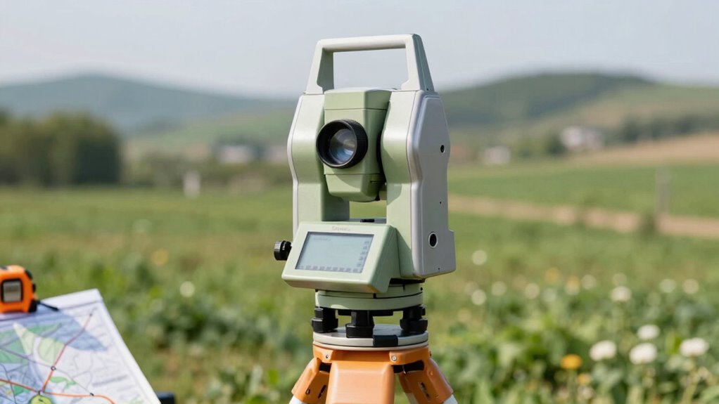

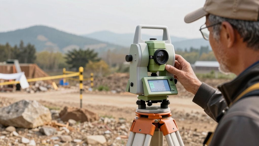
Total stations are essential surveying tools that measure both distances and angles using laser technology and precise optics. You aim them at points on the ground, and the device calculates the distance with laser signals while recording angles through electronic components. These measurements help create accurate maps, property boundaries, and construction plans. If you want to understand the science behind their precision and how they work, stay with us to explore more deeper insights.
Key Takeaways
- Total stations combine electronic distance measurement (EDM) and angular measurement for precise land surveying.
- They use laser technology to measure distances and optical components to determine horizontal and vertical angles.
- Data collection involves laser range finding and angle measurement, which are processed and calibrated for accuracy.
- Environmental factors like temperature and humidity can affect measurement precision, requiring correction methods.
- These devices are essential in construction, mapping, and engineering for accurate spatial data and terrain analysis.

Total Station Surveying Instrument, 500m Non-Prism Range, Digital Display
MEASUREMENT RANGE: Features 500-meter non-prism measurement capability for accurate distance measurements without the need for reflectors
As an affiliate, we earn on qualifying purchases.
As an affiliate, we earn on qualifying purchases.
What Is a Total Station and Why Is It Essential in Surveying?
Have you ever wondered how surveyors precisely measure land and create detailed maps? That’s where a total station comes in. It’s an essential tool in geodetic surveying, combining electronic distance measurement and angular measurement in one device. This precision allows surveyors to gather accurate data quickly. To guarantee reliability, proper instrument calibration is critical; it keeps measurements consistent and accurate over time. Regular calibration is essential for maintaining measurement accuracy, which directly impacts the quality of surveying results. Without calibration, even slight errors could lead to inaccurate maps or property boundaries. Total stations streamline surveying by integrating multiple functions, reducing the need for multiple instruments. Their versatility and precision make them indispensable for engineers, architects, and surveyors. Additionally, instrument calibration ensures the device maintains its high level of accuracy during extensive surveying projects. Proper calibration procedures can also help identify and correct instrument drift, preventing accumulated errors in measurements. Furthermore, utilizing advanced calibration techniques can enhance the overall reliability of measurement data.

Laser Measure Device, MiLESEEY 229ft Digital Laser Tape Measure with Upgrade Electronic Angle Sensor, 2mm Accuracy, Area Measurement,Volume and Pythagoras, 2" LCD Backlit,Mute, Battery Included
[Reliable and Efficient] Upgraded electronic level with accuracy up to +/-0.3°and laser tape measure with accuracy up to…
As an affiliate, we earn on qualifying purchases.
As an affiliate, we earn on qualifying purchases.
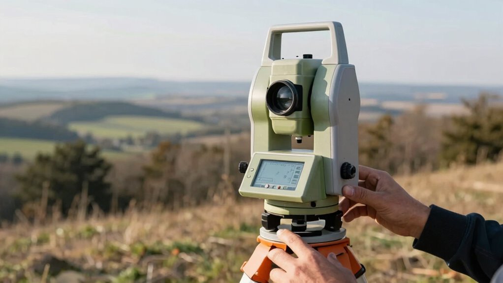
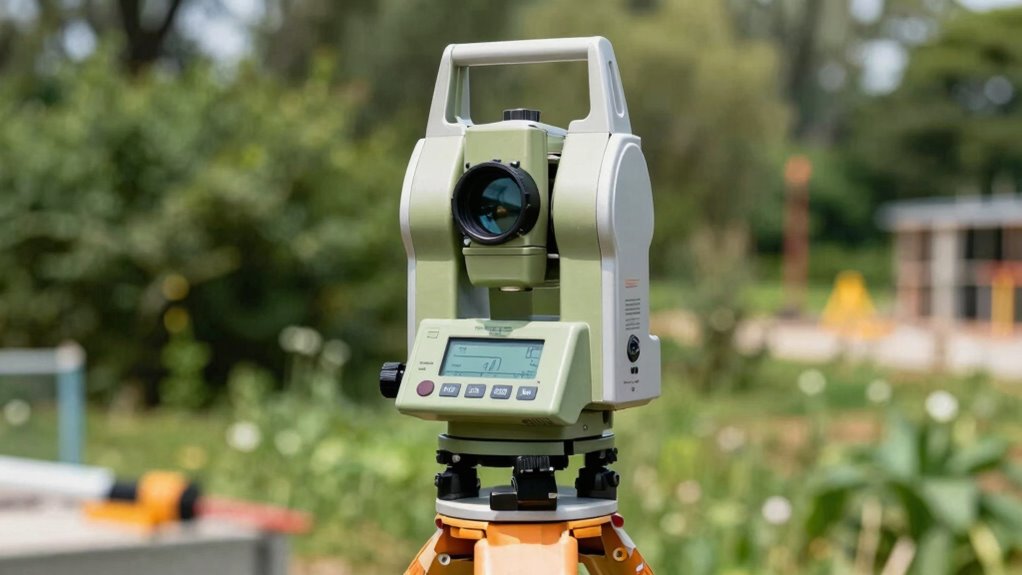
How Do Total Stations Measure Distance and Angles?
Total stations use laser measurement technology to quickly and accurately determine distances, even over long ranges. They also employ precise angle measurement techniques to guarantee your data is reliable. By processing this information with advanced methods, the instrument provides detailed survey results efficiently.
Laser Measurement Technology
Laser measurement technology forms the core of how total stations determine distances and angles with high accuracy. You use laser technology to emit a laser beam toward a target, and then the device measures the time it takes for the beam to return. This method, known as electronic distance measurement (EDM), allows for precise distance calculations. The laser’s coherence and beam quality contribute markedly to measurement accuracy, reducing errors caused by environmental factors. When measuring angles, the total station combines laser data with internal rotational components to pinpoint exact directions. This integration ensures high-precision results, making laser measurement technology essential for surveying tasks. With its ability to deliver rapid, accurate data, laser technology enhances the overall effectiveness of total stations in the field. Laser technology plays a crucial role in achieving consistent and reliable measurements under various conditions. Additionally, advancements in beam quality and stabilization techniques further improve measurement reliability in diverse environments. The combination of laser precision and environmental resilience ensures dependable measurements across different terrains and weather conditions. Moreover, ongoing innovations in sensor technology continue to push the boundaries of measurement accuracy and efficiency. Environmental factors, such as temperature and atmospheric conditions, can also influence measurement accuracy, prompting ongoing improvements in laser systems.
Angle Measurement Techniques
To measure angles accurately, total stations employ a combination of precise rotational components and advanced optical systems. They use sophisticated scopes and encoders to detect minute rotations, guaranteeing high angular accuracy. Trigonometric methods then convert these angles into usable data, especially when measuring distances indirectly. The device often employs horizontal and vertical circles, which rotate smoothly for precise readings. This rotation mechanism is crucial for achieving high-precision measurements in surveying and construction. Additionally, regular calibration ensures that measurements remain consistent over time, maintaining the device’s high precision. The integration of digital encoders further enhances measurement reliability by providing precise feedback on rotation angles.
Data Processing Methods
Data processing in total stations involves converting raw measurement data into accurate distance and angle information. You start with data calibration to correct any instrument errors, ensuring measurements are reliable. Once calibrated, the total station’s onboard software algorithms analyze the raw data, filtering out noise and inconsistencies. These algorithms refine the measurements, accounting for environmental factors like temperature and atmospheric pressure that can affect signal accuracy. The processed data is then transformed into precise distance and angle readings, ready for mapping or surveying. This combination of data calibration and advanced software algorithms guarantees that your measurements are both accurate and consistent, enabling you to produce reliable survey results and detailed topographical maps.

YIHUA 948DB+ II Soldering Iron Station Kit compatible for T12 solder iron tip with 3 tips with °F-°C Conversion, Sleep Mode, Auto Shutdown, Preset Channels, Calibration Functions
The YIHUA 948DB+ II digital soldering station uses a rapid heating soldering tip, and is able to heat…
As an affiliate, we earn on qualifying purchases.
As an affiliate, we earn on qualifying purchases.
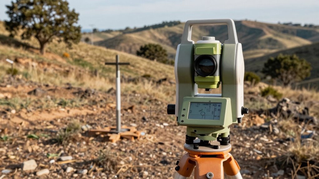
How Do Total Stations Work? The Science Behind Their Measurements
Total stations use laser range finding to quickly and accurately measure distances, even over long stretches. They also rely on precise angle measurement techniques to determine the exact position of points. Together, these methods enable you to create detailed and accurate survey data efficiently. Additionally, engineering principles underpin the technology, ensuring consistent and reliable results. Understanding measurement accuracy is crucial for interpreting survey data correctly and making informed decisions. The integration of geodetic frameworks further enhances the precision of total station measurements, allowing for comprehensive spatial analysis. Moreover, advancements in instrument calibration contribute to maintaining measurement consistency over time. Proper device calibration is essential for sustaining the high standards of measurement integrity in the field.
Laser Range Finding
Laser range finding is at the heart of how total stations measure distances accurately. You use a laser beam directed at a reflector, and the instrument calculates the distance based on the time it takes for the light to return. Proper laser calibration guarantees consistent, precise measurements, minimizing errors caused by equipment drift. To maintain accuracy, you need to account for beam divergence, which is the slight spreading of the laser beam over distance. A narrow beam divergence results in more precise targeting and better measurement reliability. As the laser hits the reflector, the total station measures the round-trip time of the light pulse. This scientific process allows you to obtain highly accurate distance data essential for surveying and mapping projects. Additionally, understanding the measurement accuracy of the instrument is crucial for ensuring reliable results in professional applications. Regular calibration and environmental considerations further enhance the precision of measurements, ensuring dependable data collection. Recognizing the influence of atmospheric conditions is also important, as factors like temperature and humidity can affect laser performance and measurement accuracy.
Angle Measurement Techniques
Once the distance to a target is accurately measured, the next step is determining the angle between your instrument and the point of interest. This process relies on precise angle measurement techniques that ensure measurement accuracy. Proper angle calibration is essential; it corrects instrument errors and maintains consistency. Total stations use electronic theodolites combined with optical encoders, which detect tiny angular changes. These devices translate rotation into digital signals, providing highly accurate readings. Ensuring instrument calibration is regularly performed is crucial for maintaining measurement integrity. Regularly checking for instrument drift helps sustain measurement accuracy over time. Utilizing advanced measurement technologies can further enhance precision and reliability. Employing error correction methods is also vital to account for environmental factors that might influence measurements. Additionally, understanding the science behind total stations can help users optimize their measurement strategies. To evoke confidence and trust, consider this:
| Confidence | Precision |
|---|---|
| Accurate readings build trust | Small errors can cause big issues |
| Reliable data ensures success | Calibration maintains measurement accuracy |
| Consistency leads to efficiency | Precision is the backbone of surveying |
| Your measurements, your success | Trust in your instrument’s accuracy |

Surveying Instrument Carrying Case Level Theodolite Total Station Prism Set Storage Organizer Box HC PS01 Yellow
STRONG MATERIAL: This measuring level box is made of strong PP material to ensure durability and service life….
As an affiliate, we earn on qualifying purchases.
As an affiliate, we earn on qualifying purchases.
What Data Do Total Stations Collect, and How Are They Used?
Total stations collect precise spatial data by measuring angles and distances between specific points on the Earth’s surface. This data forms the backbone of surveying accuracy, ensuring measurements are reliable for mapping, construction, and engineering projects. The device captures horizontal and vertical angles, combined with distance measurements, to determine exact coordinates. These measurements are then used to create detailed topographic maps, establish property boundaries, or plan infrastructure layouts. The data collected integrates seamlessly with GIS and CAD systems, enabling efficient data management and analysis. By accurately recording location and elevation, total stations help you minimize errors and improve project precision. Calibration and maintenance of total stations are essential to ensure ongoing measurement accuracy and reliability. This integration of high-quality data is essential for making informed decisions and ensuring the success of your surveying and construction efforts.
What Features Should You Look for When Choosing a Total Station?
When choosing a total station, it’s vital to focus on features that enhance accuracy, efficiency, and ease of use. Look for advanced precision features like fine angle measurement and high-resolution sensors to guarantee measurement reliability. A user-friendly interface is essential; it should allow quick access to functions and clear displays, reducing errors and training time. Consider the device’s durability and power options for fieldwork. Here’s a quick comparison:
| Feature | Importance | Recommendation |
|---|---|---|
| Precision features | Improve measurement accuracy | Look for high-precision sensors |
| User interface | Simplifies operation and reduces mistakes | Opt for intuitive touchscreen |
| Durability | Ensures longevity in rugged environments | Choose weather-resistant models |
| Power options | Supports extended use in the field | Lithium-ion batteries or solar |
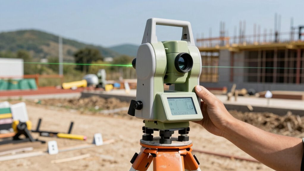
How Are Total Stations Changing Construction and Mapping Projects?
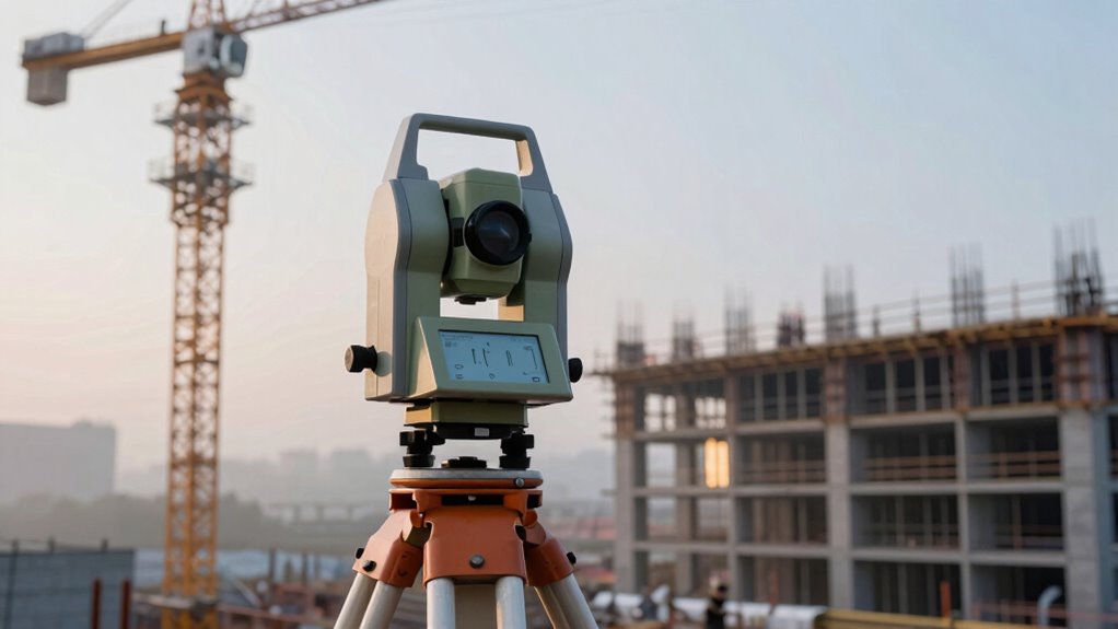
Advancements in total station technology are revolutionizing construction and mapping projects by boosting accuracy and efficiency. With innovative features like robotic operations and real-time data processing, these tools enable faster site surveys and more precise measurements. This construction innovation reduces errors, shortens project timelines, and lowers costs, giving you a competitive edge. In mapping, total stations improve mapping accuracy by providing detailed, reliable data quickly. You can capture complex terrains and structures with greater confidence, ensuring that plans align perfectly with real-world conditions. Overall, these technological improvements empower you to complete projects more accurately and efficiently, transforming traditional workflows and setting new standards in construction and geospatial mapping.
Frequently Asked Questions
Can Total Stations Operate in All Weather Conditions?
Total stations aren’t fully weather-resistant, so extreme conditions can affect their performance. You should consider weather resilience when using them outdoors, especially in rain, snow, or fog. Regular calibration procedures help ensure accuracy despite weather changes. While some models have weather-resistant features, it’s best to shield your total station with covers and avoid operation during severe weather to maintain precision and prolong your equipment’s lifespan.
What Training Is Required to Operate a Total Station Effectively?
Think of operating a total station like mastering a musical instrument—you need proper training. You should complete operator certification to guarantee safety and accuracy. Additionally, understanding survey calibration is essential to keep measurements precise. Training covers setup, data collection, and troubleshooting, helping you become confident and proficient. With the right skills, you’ll navigate the instrument smoothly, turning complex tasks into a harmonious performance.
How Accurate Are Total Stations Compared to GPS?
Total stations generally offer higher survey accuracy than GPS, especially in challenging environments like urban canyons or dense forests. While GPS is convenient for large-scale, quick measurements, total stations provide precise, detailed data essential for engineering projects. When comparing survey accuracy, total stations often achieve millimeter-level precision, making them the preferred choice for critical measurements, whereas GPS might have a few centimeters of error depending on conditions.
What Maintenance Do Total Stations Require Regularly?
Think of your total station as a finely tuned instrument that needs regular care to stay sharp. You should perform calibration procedures every so often to keep measurements accurate and check for drift. Don’t forget battery maintenance—keep it charged and replace it when needed—to prevent unexpected shutdowns. Regularly cleaning lenses and checking connections also guarantees your device remains reliable, letting you capture precise data every time you use it.
Are There Wireless Options for Data Transfer From Total Stations?
Yes, there are wireless options for data transfer from total stations. You can use Bluetooth connectivity to wirelessly transfer data, making your workflow more efficient. Many modern total stations are equipped with Bluetooth, allowing you to send measurements directly to your device without cables. This wireless data transfer simplifies fieldwork, speeds up data processing, and reduces the risk of data loss during manual transfer processes.
Conclusion
Total stations are essential tools that revolutionize surveying and construction, combining precision and efficiency. Did you know that modern total stations can measure distances with an accuracy of up to 1 millimeter? This remarkable precision saves you time and reduces errors on your projects. As technology advances, these devices continue to transform how you map and build, making your work faster, more accurate, and ultimately more successful.