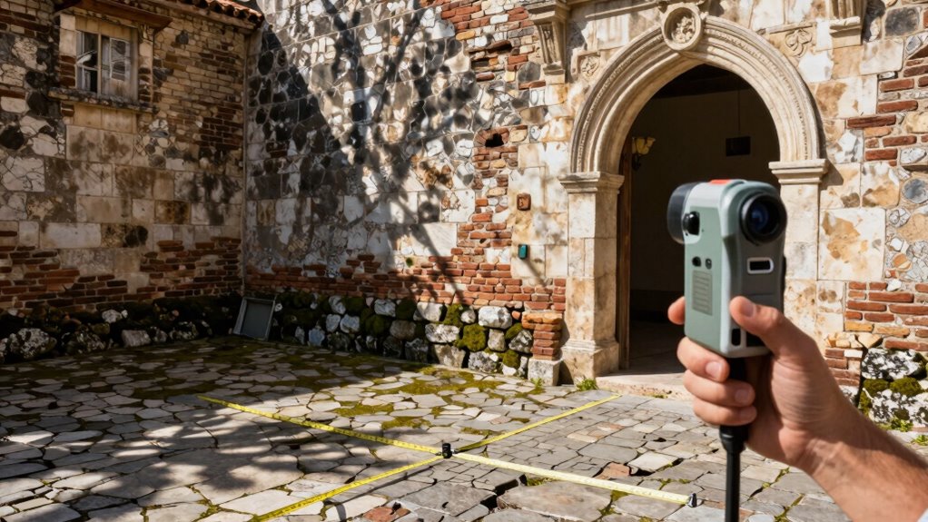

To map a courtyard using simple tools, start by carefully measuring dimensions with a tape measure, ruler, and string, recording each accurately. Trace irregular features with string and measure its length for precise shape details. Compare your measurements with historical records if available. Use scaled drawings to keep proportions correct, and document every step thoroughly. A systematic, patient approach guarantees accuracy—if you want to learn more about effective techniques, keep exploring the process.

Prime made for students and young adults
- Fast, free delivery for dorm and study essentials
- Prime Video and Amazon Music included
- Member-only deals
Key Takeaways
- Use tape measures, rulers, and string for accurate, systematic measurements of courtyard features.
- Cross-reference measurements with historical plans and photographs to ensure accuracy.
- Create a scaled drawing by transferring measurements carefully, choosing an appropriate scale like 1:50 or 1:100.
- Document all measurements, techniques, sketches, and photographs for comprehensive record-keeping.
- Verify measurements through double-checking and a methodical approach to produce a reliable map.
Mapping a courtyard might seem complex, but with simple measurement tools, it becomes an achievable task. You don’t need sophisticated equipment or advanced skills—just a basic understanding of measurement techniques and an eye for detail. To guarantee your map reflects historical accuracy, it’s important to gather precise measurements and document your process carefully. This way, your map can serve as a reliable reference, whether for restoration projects, academic study, or personal interest.
Simple tools and careful measurement make mapping a courtyard accurate and achievable for all enthusiasts.
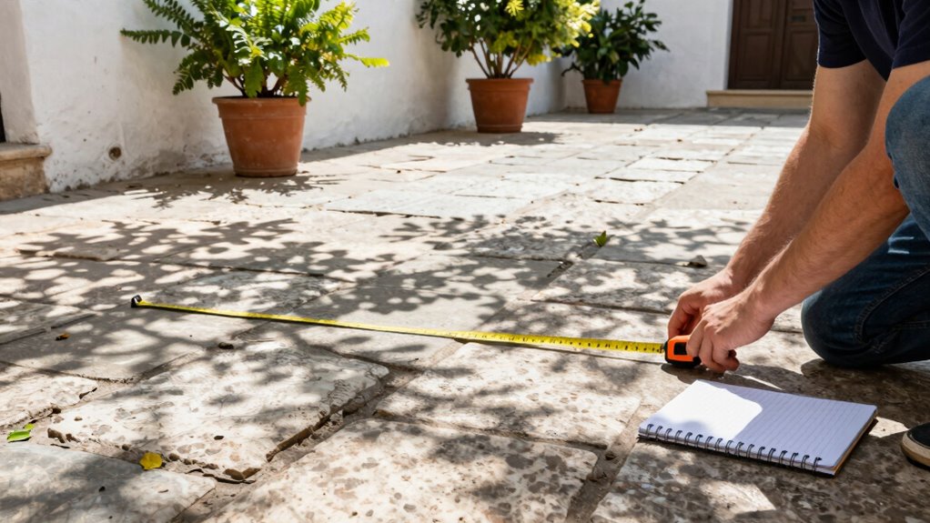
Start by choosing the most straightforward measurement tools: a tape measure, a ruler, and a string. These will help you capture the dimensions of the courtyard accurately. When measuring, work systematically from one corner to the next, recording lengths carefully. For irregular shapes or curved edges, use string to trace the outlines, then measure the string’s length with your tape measure. This approach enhances measurement accuracy, especially when dealing with complex or uneven features.
To maintain historical accuracy, consider the context of the courtyard’s original design. Research historical plans, drawings, or descriptions if available. Compare your measurements with any existing records to verify their accuracy. When measuring, pay close attention to architectural details, such as the placement of paving stones, fountains, or decorative elements. Document these features with sketches, photographs, and notes—these details are vital for a faithful representation of the space. Additionally, understanding the measurement techniques involved can improve the precision of your mapping efforts. Being aware of measurement errors and how to minimize them can further enhance the reliability of your data. It is also helpful to consult with experts or reference historical documentation to ensure your measurements align with the original design.
Using these measurement techniques, you’ll want to create a scaled drawing. Decide on a scale that fits your paper or digital medium, such as 1:50 or 1:100. Transfer your measurements onto your drawing, ensuring each element is proportionally accurate. Use straight edges or rulers to keep lines straight, and double-check measurements before finalizing your map. This careful process guarantees your courtyard map is both precise and reflective of its original design.
Throughout your mapping process, keep detailed records of your measurements, tools used, and any assumptions made. This documentation supports the historical accuracy of your map and allows others to verify or replicate your work. Remember that patience and attention to detail are your best allies. With these simple measurement techniques, you’ll produce a map that accurately captures the layout of the courtyard, providing a valuable resource for preservation, analysis, or personal understanding. In the end, your careful approach assures that even with basic tools, you can achieve a detailed, reliable representation of a historical space.
measuring tape for outdoor mapping
As an affiliate, we earn on qualifying purchases.
As an affiliate, we earn on qualifying purchases.
Frequently Asked Questions
What Tools Are Necessary for More Complex Mapping Tasks?
For more complex mapping tasks, you need advanced technology and mapping software. These tools help you accurately capture detailed data, create precise models, and analyze spatial information efficiently. You’ll likely use GPS devices, total stations, or laser scanners alongside specialized software like ArcGIS or AutoCAD. These tools allow you to handle larger areas, complex structures, and intricate details, making your mapping process more accurate and streamlined.
How Accurate Are Measurements Using Simple Tools?
You might think simple measurement tools are too imprecise, but they can be surprisingly accurate for basic mapping. While their measurement precision is limited by tool limitations like tape measures or rulers, they still provide reliable data for small projects. Keep in mind, the accuracy depends on careful techniques, steady hands, and double-checking measurements. For more detailed or large-scale work, consider more advanced tools, but simple tools work well for straightforward tasks.
Can This Method Be Applied to Irregularly Shaped Courtyards?
Yes, you can apply this method to irregularly shaped courtyards, but expect some measurement challenges. Irregular shapes make it harder to get precise measurements with simple tools because you’ll need to account for curves, angles, and uneven edges. To improve accuracy, break the courtyard into smaller sections, measure each carefully, and then combine the data. Patience and careful planning help overcome these measurement challenges.
What Are Common Mistakes to Avoid During Measurement?
Did you know that inaccuracies in measurement can be up to 30% due to common mistakes? To guarantee measurement precision, avoid rushing and double-check your readings. Always calibrate your tools properly before starting, as uncalibrated tools can skew results. Keep your measuring devices steady, be consistent with your methods, and record data carefully. These steps help prevent errors and improve the accuracy of your courtyard mapping.
How Long Does the Mapping Process Typically Take?
The mapping process usually takes a few hours to a day, depending on the courtyard’s size and complexity. To guarantee measurement precision, you should allocate extra time for tool calibration and double-checking your measurements. Rushing can lead to inaccuracies, so plan accordingly. Proper calibration of your measurement tools and careful recording help speed up the process and improve the overall accuracy of your courtyard map.
manual ruler for landscape measurement
As an affiliate, we earn on qualifying purchases.
As an affiliate, we earn on qualifying purchases.
Conclusion
Just like piecing together a puzzle with only a few pieces, using simple tools to map a courtyard teaches you that accuracy isn’t about high-tech gadgets, but about patience and ingenuity. Each measurement is a stepping stone, guiding you through the process like a trail of breadcrumbs. Remember, even with basic tools, you can create a clear picture—proof that sometimes, the simplest approach is the most powerful. Your resourcefulness turns raw data into a beautiful, complete map.
measuring string for irregular shapes
As an affiliate, we earn on qualifying purchases.
As an affiliate, we earn on qualifying purchases.
scaled drawing tools for courtyard mapping
As an affiliate, we earn on qualifying purchases.
As an affiliate, we earn on qualifying purchases.
Fall Picks
fall essentials
As an affiliate, we earn on qualifying purchases.