
As a geodesist or GIS specialist, you focus on understanding the Earth’s geometry to create accurate maps and spatial data. You collect and analyze geographic information, calibrate satellite imagery, and guarantee data aligns with ground coordinates. Your work supports urban planning, environmental management, and disaster response. By mastering these processes, you help produce reliable maps and models. Keep exploring further, and you’ll uncover even more about how these roles shape our understanding of Earth.
Key Takeaways
- Geodesists study Earth’s shape, size, and gravity to develop accurate geospatial models and mappings.
- GIS specialists analyze spatial data to visualize and interpret Earth’s surface features.
- Satellite calibration ensures remote sensing data accurately reflects Earth’s geometry.
- Data verification aligns satellite imagery with ground coordinates for precise mapping.
- Understanding Earth’s geometry is essential for applications like urban planning, environmental monitoring, and navigation.
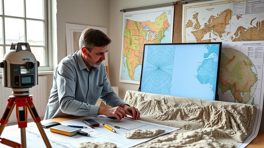
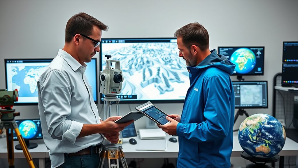
A geodesist and GIS specialist play essential roles in mapping and understanding the Earth’s surface. Their work revolves around collecting, analyzing, and interpreting spatial data to create accurate maps and models of our planet. One critical aspect of their work involves satellite calibration, a process that guarantees remote sensing satellites capture precise data. By calibrating satellites regularly, these professionals verify that the imagery and measurements obtained from space are accurate, which is indispensable for detailed spatial data analysis. Without proper satellite calibration, data could be distorted or imprecise, leading to errors in mapping, navigation, and environmental monitoring. As a result, geodesists and GIS specialists rely heavily on this calibration to maintain the integrity of their spatial datasets and guarantee that subsequent analyses are reliable.
Geodesists and GIS specialists depend on satellite calibration for precise, reliable spatial data essential for mapping and analysis.
Once the satellite data is calibrated, it feeds into spatial data analysis, a core activity in their daily tasks. Spatial data analysis involves examining geographic information to identify patterns, relationships, and trends across landscapes. You might analyze land use changes, assess natural resource distribution, or model elevation and terrain features. This process requires a deep understanding of both the physical geography and the digital tools used to manipulate data. GIS software enables you to visualize complex datasets, overlay different layers of information, and perform spatial queries that reveal meaningful insights. Whether you’re mapping urban growth or monitoring deforestation, spatial data analysis provides the foundation for informed decision-making. Additionally, understanding the impact of color accuracy**** and contrast ratios on data visualization can enhance the clarity of your maps and models.
Your role also demands precision and a keen eye for detail. When working with satellite imagery, you need to guarantee that data aligns properly with ground coordinates, which ties back to satellite calibration. Misaligned data can lead to inaccurate maps and flawed conclusions. Additionally, you might use GPS technology to gather ground truth data, which helps verify and refine satellite-based measurements. This combination of calibrated satellite data and ground verification enhances the accuracy of your spatial datasets, making your maps and models more reliable.
In essence, your work as a geodesist or GIS specialist involves a constant cycle of calibration, analysis, and validation. You depend on satellite calibration to keep your data accurate, and you apply spatial data analysis to extract useful information from vast datasets. Your efforts considerably impact urban planning, environmental conservation, disaster management, and many other fields. By guaranteeing that the Earth’s complex surface is mapped with precision, you help create a clearer, more detailed picture of our planet, enabling smarter decisions and sustainable development.
Frequently Asked Questions
What Equipment Do Geodesists Use for Precise Measurements?
You use advanced survey equipment like total stations, GPS receivers, and laser scanners for precise measurements. These tools help you implement accurate measurement techniques such as triangulation, trilateration, and leveling. By combining high-precision instruments with proper survey methods, you can determine exact positions and distances on Earth’s surface. This equipment is essential for mapping, construction, and geospatial analysis, ensuring your measurements are reliable and detailed.
How Do GIS Specialists Handle Large Spatial Data Sets?
Like a librarian organizing vast archives, you handle large spatial datasets by leveraging data compression and cloud storage. You efficiently decrease file sizes, making data easier to manage and transfer. Cloud platforms enable seamless access and collaboration, much like a shared library open to many. This approach guarantees your GIS projects stay agile, scalable, and ready for analysis, helping you turn complex maps into actionable insights without getting overwhelmed.
What Are Common Challenges in Mapping Earth’s Curvature?
You face challenges like map projection distortions that alter shapes, areas, and distances, making it hard to represent Earth’s curvature accurately. Elevation measurement difficulties add to this, as capturing precise height data over vast areas is complex. These issues can lead to inaccuracies in your maps, especially when integrating diverse data sources. To mitigate this, you need to carefully select projections and use advanced elevation measurement techniques.
How Is Satellite Technology Integrated Into Geodesy?
A stitch in time saves nine, so integrating satellite technology into geodesy is essential. You calibrate satellites regularly to guarantee accurate data, focusing on orbit determination to track their precise positions. This integration helps improve Earth measurements, providing detailed insights into our planet’s shape and movement. By combining satellite data with ground observations, you refine models, making mapping more precise and reliable, ultimately advancing our understanding of Earth’s complex geometry.
What Careers Can Emerge From Geodesy and GIS Expertise?
You can pursue careers in urban planning and environmental consultancy, leveraging your geodesy and GIS expertise. In urban planning, you’ll help design sustainable cities by analyzing spatial data. As an environmental consultant, you’ll assess land use impacts and conservation efforts using GIS tools. These roles allow you to apply your skills in mapping, spatial analysis, and Earth geometry to create solutions that benefit communities and the environment.
Conclusion
As you’ve seen, geodesists and GIS specialists play vital roles in understanding Earth’s shape and creating accurate maps. Your work bridges science and technology, making complex data accessible and useful. Remember, “A journey of a thousand miles begins with a single step.” Embrace your passion for mapping and Earth sciences, knowing each step you take helps the world better understand our planet. Keep exploring, and let curiosity guide your path!