Understanding slope, grade, and elevation is key to creating accurate site plans. Slope shows how steep a terrain is, while grade expresses that steepness as a percentage, helping with engineering decisions. Elevation indicates height above a reference point, affecting drainage and stability. Proper measurement and interpretation of these factors prevent issues like erosion and landslides. Keep exploring to discover how these elements work together to shape safe and efficient land designs.
Key Takeaways
- Slope measures terrain steepness, impacting stability, drainage, and construction decisions in site planning.
- Grade quantifies slope as a percentage or ratio, helping engineers design safe, functional slopes.
- Elevation indicates height above a reference point, essential for grading, drainage, and foundation stability.
- Accurate interpretation of contour lines and topographic maps reveals terrain shape and challenges.
- Proper understanding of slope, grade, and elevation ensures effective site design and long-term land stability.
What Are Slope, Grade, and Elevation? The Basics Explained

Have you ever wondered how the incline of a hill or road is measured? It all comes down to slope, grade, and elevation. Slope refers to how steep a surface is, impacting soil stability and construction challenges. Grade is the percentage or ratio that quantifies this steepness, helping engineers determine how to build on uneven terrain. Elevation indicates the height of a point above a fixed reference, like sea level. Understanding these basics is vital because they influence foundation stability, drainage, and safety. When working with land, knowing the slope and grade helps prevent issues like erosion or landslides. Accurate measurement of these factors guarantees that construction projects are safe, sustainable, and suited to the landscape’s natural features. Additionally, high contrast ratios in projectors can significantly improve image clarity in various lighting conditions, which is essential for creating effective site plans and visualizations. Recognizing the relationship between elevation and drainage is crucial for designing effective water management systems on a site.
How to Measure Slope, Grade, and Elevation in Land Development
To accurately measure slope, grade, and elevation, you’ll need the right tools, like levels, GPS devices, or digital inclinometers. Learning how to interpret land data from these measurements helps you make informed development decisions. Mastering these techniques guarantees your project is precise and reliable from start to finish. When planning a site, considering the support breakfast options nearby can also help keep your team energized during long measurement sessions. Utilizing natural features and existing landscape contours can also assist in understanding the site’s overall topography, ensuring your measurements are aligned with the terrain. Additionally, understanding the impact of AI tools can enhance data analysis and improve measurement accuracy in land development. Incorporating advanced electric bike conversion kits can facilitate easier site inspections across large or rugged terrains, making your surveying process more efficient. Incorporating specialized tools like decarboxylators and infusion machines can streamline preparing herbal products on-site when needed.
Tools for Measurement
Measuring slope, grade, and elevation accurately is essential for successful land development projects. You can rely on several tools to ensure precise data collection. First, survey techniques like using a total station or a theodolite help you measure angles and distances on-site. Second, GPS and laser scanning provide rapid, high-accuracy elevation data. Third, GIS mapping allows you to analyze and visualize terrain features digitally, integrating survey data seamlessly. Fourth, handheld digital inclinometers give quick slope readings in the field. Additionally, understanding the concept of grade helps in designing effective drainage and grading plans. Moreover, employing topographic mapping techniques enables a comprehensive view of the terrain, facilitating better planning and analysis. These tools work together to give you the detailed measurements needed for planning and designing your site effectively. To improve accuracy, survey calibration is often necessary to ensure reliable data collection. Incorporating elevation data collection methods can further enhance the precision of your site assessments. Using remote sensing technology can also provide valuable supplementary data for large or inaccessible sites. These tools work together to give you the detailed measurements needed for planning and designing your site effectively.
Interpreting Land Data
Understanding how to interpret land data is essential for accurate land development. You need to analyze measurements like slope, grade, and elevation carefully to ensure stability and safety. Conducting a geotechnical analysis helps you assess soil stability, which directly influences how you interpret land data. For example, steep slopes may indicate potential erosion risks, while flat areas could signal poor drainage. Use tools like topographic maps and elevation surveys to gather precise data. When interpreting this information, consider how the land’s natural contours affect construction plans and site design. Accurate interpretation guarantees you identify potential challenges early, allowing for better planning and foundation design. Additionally, understanding whole-house water filtration systems can be important for ensuring safe water supply during development projects. Incorporating land survey techniques further enhances your ability to make informed decisions about site suitability. Being familiar with vetted dog names can also be beneficial when planning for pet-friendly properties, ensuring a welcoming environment for future residents and their dogs. Moreover, understanding soil composition and stability is crucial for designing foundations that are both safe and durable. Ultimately, understanding land data helps you develop safer, more sustainable sites that account for the land’s natural characteristics.
Why Elevation Data Is Critical for Site Stability
Have you ever wondered how engineers determine whether a site can support a structure safely? Elevation data is vital because it informs a thorough geotechnical analysis, revealing potential risks to stability. Without accurate elevation, you could overlook issues like uneven load distribution or soil shifting. Consider these aspects:
- Identifying slopes prone to landslides or erosion.
- Planning erosion control measures to prevent soil loss.
- Assessing drainage patterns to avoid water accumulation.
- Ensuring foundation stability by understanding ground height variations.
Accurate elevation data is essential for creating reliable site plans and avoiding costly mistakes down the line. It helps you anticipate problems before construction begins, ensuring safety and longevity. Proper elevation data can also assist in selecting appropriate toilet flushing mechanisms, which are affected by site topography and water flow. It guides decisions on soil reinforcement and erosion control strategies, giving you confidence in your site’s stability. Proper elevation insight is the backbone of sound engineering and safe development.
How Slope and Grade Affect Drainage and Water Flow
Your slope and grade directly influence how water moves across a site. When the slope is steep, water flows quickly, increasing erosion risk and reducing absorption. Understanding these factors helps you manage drainage effectively and prevent water-related problems. Proper grading can improve drainage systems, which can also be optimized by considering water flow patterns and terrain features. Additionally, considering air quality and the surrounding environment can further enhance site stability and health. Recognizing soil permeability is essential for predicting water movement and designing effective grading strategies. Being aware of soil compaction can further influence water infiltration and flow, making it an important aspect of site planning.
Slope’s Impact on Drainage
The slope of the land plays a crucial role in how water drains across a surface. A gentle slope allows water to flow smoothly, reducing pooling and erosion risks. A steeper slope accelerates water movement, increasing erosion potential if not managed properly. Imagine:
- Water rushing down a hillside, carving out channels.
- Soil washing away, exposing roots and destabilizing the ground.
- Strategic planting of grasses and shrubs to slow water flow.
- Building terraces or retaining walls to control runoff.
- Proper grading techniques help manage water flow effectively and prevent damage. Understanding slope also aids in implementing erosion control measures that preserve soil integrity and stability. Proper grading ensures water flows away from foundations and prevents pooling. By adjusting the slope thoughtfully, you can manage drainage, protect your site’s stability, and minimize water-related damage.
Grade and Water Flow
When the slope and grade of land change, they directly influence how water moves across a surface. A steeper grade accelerates water flow, which can impact soil stability and increase erosion risks. Proper grading directs runoff away from structures and sensitive areas, helping to prevent erosion and maintain soil health. Conversely, gentle slopes slow water movement, encouraging infiltration and reducing surface runoff. Effective erosion control measures, like retaining walls or ground cover, are essential on steeper grades to protect the land’s stability. By understanding how grade affects water flow, you can design site plans that promote proper drainage, minimize erosion, and preserve soil integrity, ensuring long-term stability of the landscape and surrounding structures. Understanding grading principles is key to achieving sustainable land management and landscape stability.
Common Mistakes When Reading Elevation and Slope Data

Misinterpreting elevation and slope data is a common mistake that can lead to costly errors in planning and construction. You might assume flat terrain when there are subtle inclines, causing issues with landscape aesthetics and drainage. To avoid this, watch out for these pitfalls:
- Overlooking the difference between slope percentage and grade, leading to incorrect assessments of terrain steepness.
- Ignoring elevation markers, which can distort your understanding of terrain elevation changes.
- Misreading contour lines on topographic maps, resulting in misjudging slope steepness.
- Relying solely on visual cues without verifying data, risking underestimated construction challenges.
These mistakes can compromise project success, affecting both the visual harmony of the landscape and the feasibility of construction efforts. Accurate reading guarantees better planning and smoother execution.
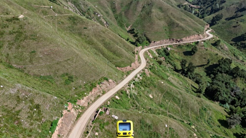
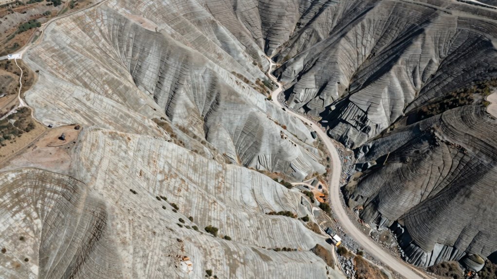
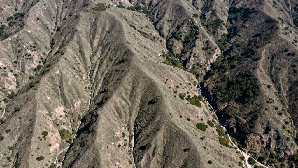
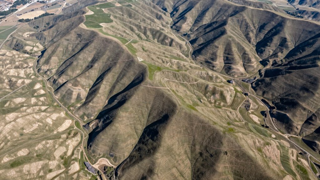
Visualizing Slope and Elevation With Topographic Maps

To effectively visualize slope and elevation using topographic maps, you need to understand how contour lines represent changes in terrain. These lines connect points of equal elevation, creating elevation contours that reveal the landscape’s shape. Closely spaced contour lines indicate steep slopes, while wider spacing shows gentle inclines. By examining the pattern and density of contour lines, you can determine the terrain’s steepness and elevation changes at a glance. Recognizing these features helps you interpret how the land slopes and identify potential challenges or opportunities in site planning. Topographic maps provide a clear, visual way to analyze terrain, making it easier to plan construction, drainage, or landscaping by understanding the underlying geometry of the land.
How Slope and Grade Influence Accessibility and Safety

The slope and grade of a surface directly impact how accessible and safe a space is for people and vehicles. A gentle slope guarantees wheelchair users can navigate smoothly, while steep grades pose fall risks. Think of a wheelchair ramp, a walking trail, a driveway, and a parking lot—each requires careful grade considerations. Poorly designed slopes can compromise landscape aesthetics, making areas look uneven or neglected. In construction zoning, strict limits on grade prevent erosion, landslides, and safety hazards. Steep grades can cause vehicle instability or accidents, especially on roads or pathways. Conversely, well-planned slopes enhance safety and accessibility, ensuring everyone can safely enjoy and use the space without hindrance. Proper grading supports both safety standards and the visual harmony of your landscape.
Practical Tips for Accurate Site Planning Using Elevation Data
Accurate site planning begins with reliable elevation data, which provides the foundation for making informed decisions about grading, drainage, and construction. To guarantee precision, use detailed surveys and modern tools like GPS and laser scanning. Proper elevation data helps you optimize landscaping aesthetics by creating natural slopes and visual appeal. It also helps identify potential construction challenges early, such as uneven terrain or drainage issues, so you can plan solutions ahead of time. Always cross-check data with multiple sources to avoid errors. Keep in mind that precise elevation measurements enable you to design a site that balances aesthetics with functionality, reducing costly modifications later. Accurate data minimizes surprises and guides you toward a cohesive, well-executed land plan.
Final Thoughts: Using Slope, Grade, and Elevation for Better Land Design

By effectively applying knowledge of slope, grade, and elevation, you can create land designs that are both functional and visually appealing. This understanding enhances landscape aesthetics and guarantees construction safety. Visualize a gently sloping lawn that drains well, a terraced garden that highlights natural features, a driveway with safe, manageable grades, or a building site with stable, well-compensated slopes. Each element benefits from precise elevation data, reducing erosion risks and preventing structural issues. By paying attention to these factors, you’ll improve the overall harmony of your landscape while prioritizing safety. Mastering the relationship between slope, grade, and elevation empowers you to design with confidence, turning technical data into practical, beautiful, and safe land solutions.
Frequently Asked Questions
How Do Climate Conditions Affect Slope Stability Over Time?
Climate conditions impact slope stability over time through rainwater runoff and vegetation management. Heavy rainfall can erode soil and increase the risk of landslides, so you need to manage runoff effectively. Additionally, maintaining healthy vegetation stabilizes the soil with roots, preventing erosion during storms. By controlling these factors, you help preserve slope stability, reducing long-term risks associated with changing climate patterns.
Can Slope and Elevation Data Predict Erosion Risks Accurately?
Yes, slope and elevation data can help you predict erosion risks, but they’re not foolproof. By analyzing these factors alongside soil erosion patterns and sediment control measures, you can identify areas prone to erosion. Using this data allows you to implement effective sediment control strategies early, reducing potential damage. Keep monitoring and adjusting your plans, as real-world conditions can change and impact erosion risks over time.
What Tools Are Best for Real-Time Elevation Measurement?
You need the absolute best tools for real-time elevation measurement, and laser scanners are the superheroes here. They capture detailed data instantly, creating precise contour mapping and placing elevation markers with incredible speed. GPS-based systems also shine, providing real-time updates with satellite accuracy. These tools turn complex terrain into clear, actionable information, helping you monitor changes instantly and make smarter decisions on-site.
How Do Underground Utilities Impact Slope Calculations?
Underground utilities greatly impact slope calculations because utility conflicts can alter natural land contours. When planning your site, you need to account for these utilities to avoid construction challenges and ensure proper drainage and stability. Detecting utility locations early helps you adjust slopes accordingly, preventing costly rerouting or damage. Always consult utility maps and perform subsurface investigations to accurately incorporate underground utilities into your slope and grade planning.
Are There Legal Regulations Governing Slope and Elevation Thresholds?
Yes, there are legal regulations governing slope and elevation thresholds. Building codes and permitting standards set specific requirements to guarantee safety and accessibility. You need to verify local regulations, as they often specify maximum slopes for ramps, stairs, and landings. Failing to adhere to them can result in permit delays or penalties. Always consult your local building authority to confirm that your site plans meet the necessary slope and elevation regulations.
Conclusion
Understanding slope, grade, and elevation isn’t just about reading maps — it’s about shaping safe, functional sites. When you grasp how these elements interact, you can prevent erosion, improve drainage, and guarantee accessibility. Think of it as revealing the secret rhythm of the land. By applying accurate data and careful planning, you turn raw terrain into a well-designed space that works with nature, not against it. Master these concepts, and your site plans will stand the test of time.