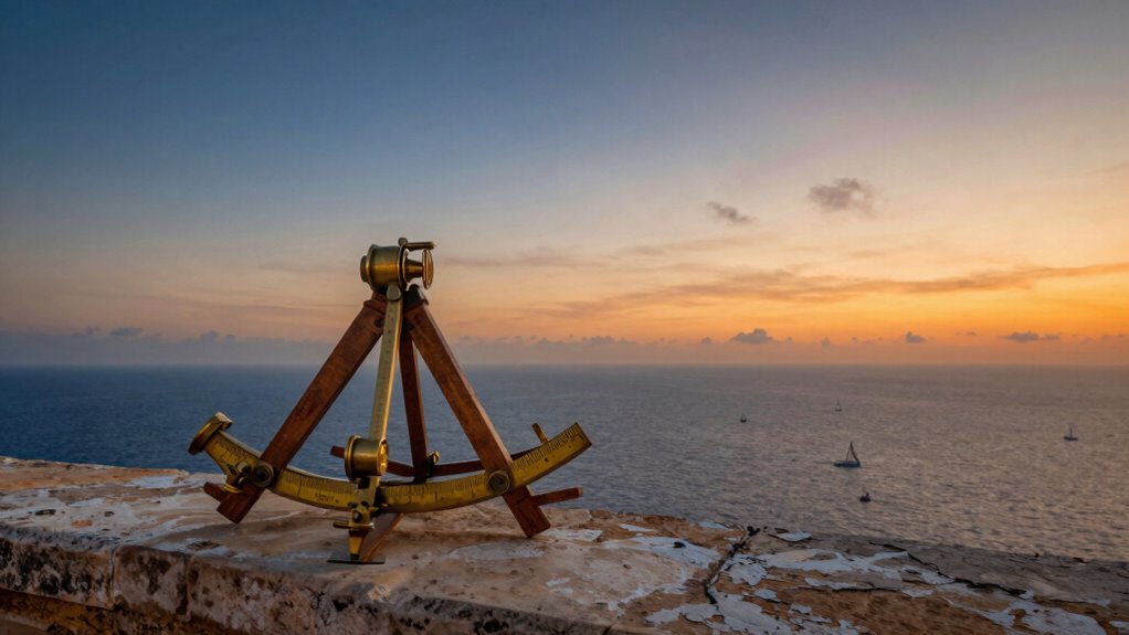

Early navigators understood that measuring the angles between celestial bodies and the horizon helped them determine their location at sea. They knew that the sun’s position at noon and stars like Polaris provided reliable reference points. By carefully calibrating their instruments and accounting for environmental factors, they improved accuracy. Combining celestial angles with compass readings and estimating distances based on speed or landmarks showed their advanced skills. Keep exploring to discover how they mastered these techniques in more detail.
Key Takeaways
- Early navigators recognized that celestial angles, like the sun at noon and Polaris at night, could determine latitude.
- They understood that measuring angles between celestial bodies and the horizon provided reliable position cues.
- Distance estimation relied on travel time, vessel speed, and dead reckoning due to limited direct measurement tools.
- Combining celestial observations with compass readings improved accuracy in determining location and course.
- Navigators calibrated instruments and accounted for environmental factors to accurately interpret angles and estimate distances.

Have you ever wondered how early explorers charted their courses across uncharted seas? Back then, they relied on a mix of skill, observation, and clever understanding of angles and distances. These navigators didn’t have modern GPS, so they turned to the sky and their instruments to find their way. Celestial navigation became their key tool—by measuring the angles between the horizon and celestial bodies like the sun, moon, and stars, they could determine their position at sea. They learned that the angle of the sun at noon or the position of Polaris at night could serve as reliable markers. Knowing how to read these angles accurately wasn’t just about reading a protractor; it was about understanding how celestial bodies moved and how their apparent angles changed with each location. They also understood that angle measurement was crucial for accurate navigation, relying on precise observations and calculations. Accurate angle measurements depended heavily on their understanding of the earth’s curvature and the apparent movement of celestial bodies across the sky. Additionally, they developed methods to account for instrument calibration errors to improve their accuracy at sea. Their awareness of environmental factors, like magnetic declination, further enhanced their ability to interpret their instruments correctly.
One of the essential aspects early navigators understood was compass accuracy. A compass, especially a magnetic one, was their primary instrument for maintaining a consistent course. They knew that the compass could be affected by local magnetic anomalies, so they learned to interpret its readings carefully, adjusting for deviations. They understood that even a small error in compass accuracy could lead to significant deviations over long distances. To counter this, they often used multiple methods—like celestial observations combined with compass readings—to cross-check their position. This blend of methods helped refine their understanding of angles and how they related to their position on the globe. Their careful calibration of instruments was a testament to their deep understanding of instrument precision and environmental factors affecting navigation. Their ability to combine different techniques demonstrated a sophisticated grasp of navigation principles beyond just sighting landmarks.
Distance measurement was another key aspect. Early navigators didn’t have precise tools to measure distance directly over the water, so they relied on estimating speed and time. They understood that, by knowing their vessel’s speed—measured through logs or visual cues—and tracking how long they traveled, they could approximate the distance covered. They also observed land features and used dead reckoning to update their position. While this method wasn’t perfect, their understanding of angles helped them predict where land might appear, based on the angle of the coastline and the vessel’s heading. Their ability to combine angle observations with estimations of speed and direction was fundamental to successful navigation over vast and unknown waters. This comprehensive approach showcased their mastery of navigation techniques and their ability to adapt to the limitations of their tools.
As an affiliate, we earn on qualifying purchases.
Frequently Asked Questions
How Did Early Navigators Measure Angles Without Modern Tools?
You used celestial navigation and simple angle measurement techniques to determine your position at sea. Early navigators relied on tools like the astrolabe and sextant, which helped measure the angle between celestial bodies and the horizon. By comparing these angles with star charts, you could estimate your latitude and navigate accurately. These methods showcased clever use of basic instruments for precise angle measurement, guiding sailors across vast oceans.
What Role Did Celestial Observations Play in Early Angle Measurements?
Celestial navigation played a vital role in early angle measurements by relying on star positioning to determine your location. You’d observe the angles between stars and the horizon using basic tools like the astrolabe or quadrant. By noting the star’s position at specific times, you could calculate your latitude and improve your navigation accuracy, making celestial observations essential for safe and precise sea journeys.
How Accurate Were Early Navigators’ Distance Estimations?
You find that early navigators’ distance estimations were quite limited in accuracy, relying heavily on celestial navigation and magnetic compasses. They used star positions and the sun’s angle to estimate distances, but these methods often led to errors due to weather, instrument precision, and human interpretation. Despite these challenges, their understanding of angles helped improve navigation, although precise distance measurement remained difficult without modern tools.
Did Early Navigators Use Any Mathematical Formulas for Navigation?
You realize early navigators relied on celestial navigation and navigational instruments like the astrolabe and quadrant, but they didn’t use complex mathematical formulas like today. Instead, they observed stars and measured angles to celestial bodies, translating those into positions on a map. This intuitive approach helped them estimate distances and directions, turning the night sky into a giant, guiding compass that connected distant shores across the vast ocean.
How Did Understanding Angles Improve Early Maritime Safety?
Understanding angles greatly improved your maritime safety by allowing you to accurately determine your position using a historical compass and navigational charts. By measuring angles between celestial bodies and landmarks, you could plot your course more precisely, avoiding dangerous waters and reducing the risk of shipwrecks. This knowledge enabled safer, more confident voyages, expanding exploration and trade routes while ensuring you stayed on course even in challenging conditions.
As an affiliate, we earn on qualifying purchases.
Conclusion
Just as a lighthouse guides ships through foggy nights, your understanding of angles and distance illuminates your path through life’s vast ocean. With each new discovery, you become a steadfast sailor, steering uncharted waters with confidence. Remember, every great explorer started with a simple idea—trust in your growing knowledge. Embrace the journey ahead, for in mastering these secrets of navigation, you open the freedom to voyage toward your dreams, no matter how distant they seem.
navigational protractor for sailors
As an affiliate, we earn on qualifying purchases.
As an affiliate, we earn on qualifying purchases.
As an affiliate, we earn on qualifying purchases.