
Surveying has been essential in building empires, setting precise borders, and developing cities by providing accurate measurements and detailed maps. Early tools like cross-staffs and theodolites helped establish clear boundaries, preventing conflicts and strengthening control. Modern technologies like GPS and aerial imagery have further improved accuracy, supporting urban planning and resource management. If you continue exploring, you’ll discover how these advancements continue shaping our landscapes and borders today.
Key Takeaways
- Precise boundary measurements prevented conflicts and reinforced territorial control, supporting empire stability and expansion.
- Improved surveying techniques enabled accurate land division, fostering effective governance and resource management.
- Detailed maps and boundary demarcations facilitated territorial disputes resolution and political stability.
- Modern technologies like GPS and aerial imaging enhanced city planning, infrastructure development, and urban growth.
- Surveying innovations contributed to the systematic expansion and organization of empires, cities, and borders over time.
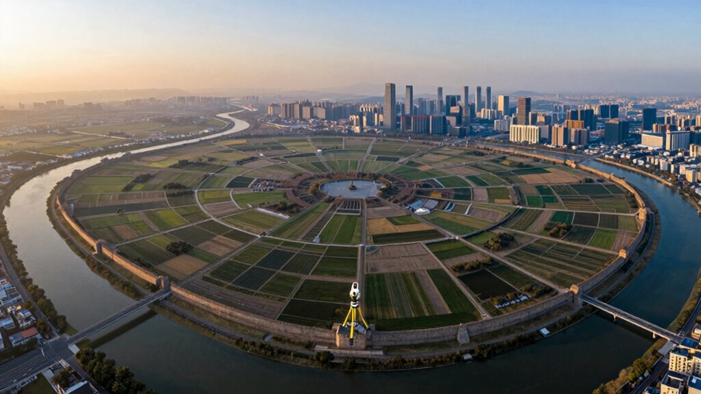
As civilizations grew more complex, your tools and techniques advanced. The development of more sophisticated historical surveying methods—like the use of cross-staffs, astrolabes, and early theodolites—improved precision. You began to see the importance of establishing accurate boundaries to prevent conflicts and solidify control. These efforts played a crucial role in maintaining the stability of empires and forming clear borders. Over time, medieval and Renaissance surveyors refined their skills, often working with detailed maps and measurements to support land grants, taxation, and territorial disputes. These efforts laid out the foundation for modern cartography and land management.
Today, modern surveying technologies—such as GPS, laser scanning, and aerial imagery—revolutionize how you measure and understand land. With these tools, you can capture highly accurate data quickly and efficiently, making boundary demarcation, urban planning, and infrastructure development more precise than ever before. You can now create detailed 3D models of terrain, analyze land use, and monitor changes over time, all with incredible precision. This technological leap has made it easier to define borders between nations, plan new cities, and manage natural resources sustainably. The integration of advanced technology continues to enhance the accuracy and scope of land analysis.
Advancements in surveying technology continue to expand the possibilities for land analysis and management, shaping the future of urban development and environmental conservation. Additionally, understanding the history of surveying techniques helps you appreciate how these innovations have evolved to meet modern needs.
In essence, surveying has evolved from simple, manual techniques to sophisticated digital methods, but its core purpose remains the same: to measure, map, and understand land. Whether relying on rudimentary tools or advanced satellite technology, your ability to accurately survey land has shaped the political, economic, and physical landscape of human society. From the first sketches of empire boundaries to the complex urban plans of today, surveying continues to be a fundamental force in building the world around you.
professional GPS surveying equipment
As an affiliate, we earn on qualifying purchases.
As an affiliate, we earn on qualifying purchases.
Frequently Asked Questions
How Did Ancient Surveyors Perform Measurements Without Modern Tools?
Ancient surveyors used simple yet effective historical measurement techniques, relying on tools like the groma, dioptra, and measuring ropes. You’d observe the sun or stars to determine directions, and use pacing or counting steps for distance. These ancient surveying tools helped you create accurate maps and boundaries. By combining visual cues with basic instruments, you could measure land and establish borders without modern technology, showcasing impressive ingenuity.
What Were the Most Significant Surveying Innovations in History?
The most significant surveying innovations include the development of geospatial technology and satellite mapping. You benefit from these advancements because they provide precise, large-scale measurements and detailed geographic data. Satellite mapping, in particular, revolutionized surveying by enabling you to access accurate images and measurements from space, making mapping faster, more dependable, and more all-encompassing. These innovations continue to shape modern surveying, infrastructure, and urban planning.
How Did Surveying Influence Cultural Exchanges Between Civilizations?
You might be surprised to learn that over 80% of ancient trade routes relied heavily on surveying advancements. These tools and techniques facilitated precise mapping, enabling civilizations to establish cultural interactions across vast regions. As trade routes expanded, they fostered exchanges of ideas, technologies, and traditions, strengthening bonds between diverse societies. Surveying, thus, played a vital role in promoting cultural exchanges, shaping the interconnected world we are aware of today.
What Challenges Did Early Surveyors Face in Uncharted Territories?
You face numerous challenges in uncharted territories, including difficult terrain mapping and unpredictable landscapes. Harsh weather, limited tools, and lack of precise technology make your work tough. Boundary disputes often arise when borders are unclear, leading to conflicts. Exploring unfamiliar environments demands adaptability and patience, as you rely on observation and early instruments. Despite these hurdles, your efforts are vital for establishing borders, guiding expansion, and shaping civilizations.
How Does Surveying Impact Modern Urban Planning and Development?
Surveying plays a crucial role in modern urban planning and development by ensuring precise measurements for urban zoning and infrastructure. You might think it’s outdated, but accurate surveys help identify the best locations for roads, utilities, and public spaces. This prevents costly mistakes, promotes efficient land use, and supports sustainable growth. Without surveying, cities could face chaos, making it essential for shaping well-organized, thriving urban environments today.
As an affiliate, we earn on qualifying purchases.
Conclusion
As you realize, surveying isn’t just about maps—it’s the invisible thread that weaves empires, shapes borders, and constructs cities. Sometimes, a simple measurement or boundary line sparks a chain of events, transforming landscapes and histories. It’s a coincidence that your everyday sense of place hinges on these precise lines and measurements. So next time you walk through a city or cross a border, remember: it’s all rooted in the remarkable art of surveying, quietly shaping our world.
aerial imagery drone for land surveying
As an affiliate, we earn on qualifying purchases.
As an affiliate, we earn on qualifying purchases.
As an affiliate, we earn on qualifying purchases.


![The early History of the Singular Value Decomposition (1993) [pdf]](https://geometr.info/wp-content/uploads/2026/07/the-early-history-of-the-singular-value-decomposition-1993-pdf-featured-560x300.jpg)