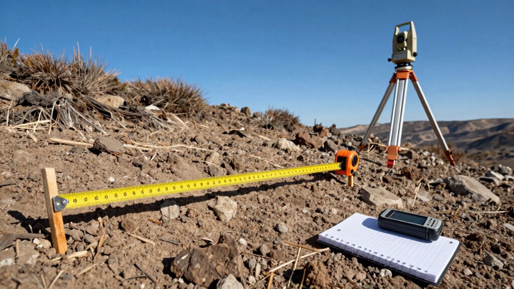
Geometry Techniques Traverses Explained: How Surveyors “Close the Loop” Aiming for precise land surveys, traverses “close the loop” by ensuring measurements start and end at the same point, revealing… Geometr TeamFebruary 25, 2026 View Post
Foundations Datum, Benchmarks, and Control Points: The Surveying Concepts That Save Projects Harnessing datum, benchmarks, and control points can transform your surveying accuracy—discover how these essential concepts can save your project. Geometr TeamFebruary 23, 2026 View Post
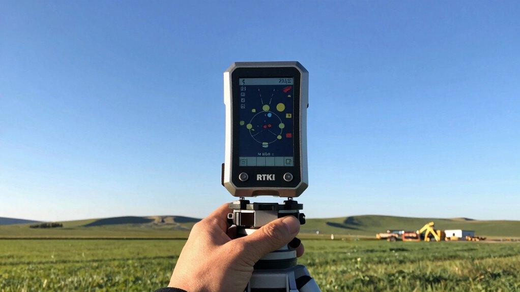
Measurement RTK GNSS in Plain English: How Surveyors Get Centimeter Accuracy Understanding RTK GNSS in plain English reveals how surveyors achieve centimeter accuracy, unlocking new possibilities for precise mapping and surveying projects. Geometr TeamFebruary 20, 2026 View Post