
RTK GNSS is a technology surveyors use to get super precise location data, accurate down to centimeters. It works by using a fixed ground station to send real-time correction signals to your rover receiver, fixing errors caused by atmospheric and satellite issues. This allows you to map boundaries, create accurate models, and work efficiently even in tough environments. Keep exploring to find out how you can harness RTK GNSS for your projects.
Key Takeaways
- RTK GNSS uses a fixed reference station to send real-time correction data to the rover.
- Corrections account for atmospheric and satellite errors, improving accuracy during surveying.
- Ground stations analyze satellite signals and transmit precise correction data via radio or internet.
- The rover receiver applies these corrections instantly, achieving centimeter-level positioning accuracy.
- This technology enables surveyors to map boundaries and features precisely and efficiently.
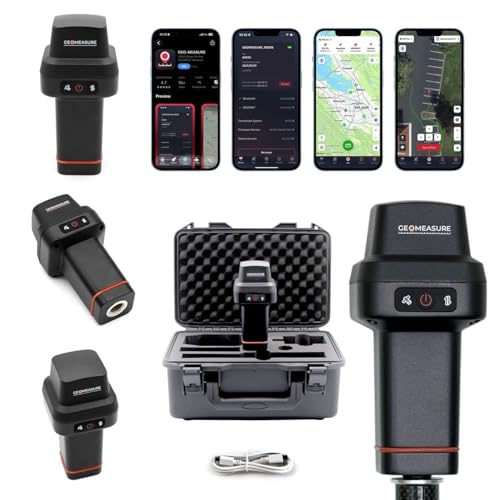
GEO-Measure RTK GNSS Survey Equipment, Handheld GPS Rover Receiver for Land Surveying, Construction, GIS Mapping & Stakeout, Multi-Frequency GNSS, IP67, WiFi, Bluetooth, GEODNET RTK Included
【Centimeter-Level RTK Accuracy】GEO-MEASURE delivers real-time centimeter-level positioning (8mm + 1ppm horizontal, 15mm + 1ppm vertical) powered by GEODNET,…
As an affiliate, we earn on qualifying purchases.
As an affiliate, we earn on qualifying purchases.
Why Surveyors Need RTK GNSS for Precise Location Data

Surveyors rely on RTK GNSS because it provides the high-precision location data necessary for their work. To achieve this accuracy, RTK uses satellite signals transmitted from multiple satellites. These signals carry essential positioning information, but they need to be processed carefully. Data processing involves correcting signal errors caused by atmospheric conditions, multipath effects, and satellite clock errors. This step is pivotal for ensuring that the position data is precise down to the centimeter. Without effective data processing, the satellite signals alone wouldn’t deliver the accuracy surveyors require. Innovative cloud solutions and the ability of RTK GNSS to interpret and refine these signals make it an indispensable tool for precise surveying tasks, enabling you to map, stake, and measure with confidence. Additionally, real-time correction data plays a crucial role in maintaining this high level of accuracy during field operations.

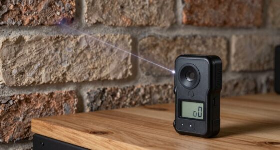
Mini GPS Tracker for Vehicles,Tracking Devices for Cars Hidden,Car GPS Tracking Device for Vehicles,Hidden Tracker Device for Vehicles Real-Time No Subscription No Monthly Fee for Car (Black)
2026 NEW MODEL GPS TRACKER FOR VEHICLES:The smooth and clean black design really makes mini GPS tracker for…
As an affiliate, we earn on qualifying purchases.
As an affiliate, we earn on qualifying purchases.
What Is RTK GNSS and How Does It Deliver Such Accuracy?

RTK GNSS, or Real-Time Kinematic Global Navigation Satellite System, achieves high-precision positioning by using a fixed, single reference station to provide real-time correction data to your rover receiver. It works by analyzing satellite signals, comparing them with the station’s known location, and sending signal correction information instantly. This process drastically reduces errors caused by atmospheric conditions, signal multipath, and satellite clock errors, enabling you to pinpoint locations with centimeter accuracy. With RTK GNSS, you can confidently measure boundaries, set construction points, and map sites precisely. Feel the confidence of reliable data and see your work come to life with unmatched accuracy.
- Experience instant, dependable accuracy with every measurement
- Overcome environmental challenges with ease
- Trust your data for critical decisions

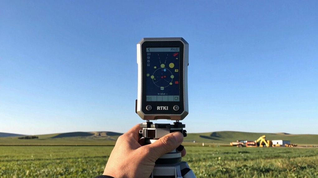
SparkFun RTK Surveying Kit GNSS Receiver: ZED-F9P Transceiver: ESP32 WROOM GNSS L1/L2 Multi-Band Antenna – TOP106 USB A to C Cable and Wall Charger
Kit includes all the antenna bits, cables and chargers: Jump right into the field
As an affiliate, we earn on qualifying purchases.
As an affiliate, we earn on qualifying purchases.
How RTK GNSS Works: The Role of Ground Stations and Corrections

Ground stations play a crucial role in RTK GNSS by providing real-time correction data that enhances positional accuracy. They receive satellite signals from GNSS satellites and analyze these signals to determine errors caused by atmospheric conditions, satellite orbit shifts, and clock inaccuracies. The ground station then transmits correction data back to your rover receiver via radio, internet, or cellular links. This correction data accounts for the errors in satellite signals, allowing your receiver to adjust its calculations instantly. As a result, your GNSS receiver can pinpoint your position with centimeter-level precision. Without ground stations delivering correction data, the satellite signals alone wouldn’t be accurate enough for precise surveying tasks. Their role is essential in transforming standard GNSS signals into highly accurate positioning information.

GPS Tracker for Vehicles Cars Motorcycles,No Monthly Fee No Subscription,Real-Time Location Tracking Device, Magnetic Mini GPS Tracker for Car Pets Dogs Elderly and Valuables (TG22)
1️⃣【No Subscription No Monthly Fee No SIM】This GPS tracker requires no subscription, no monthly fee and no SIM…
As an affiliate, we earn on qualifying purchases.
As an affiliate, we earn on qualifying purchases.
Practical Applications of RTK GNSS in Surveying and Construction

RTK GNSS has revolutionized surveying and construction by providing highly accurate positioning data in real time, enabling you to complete projects faster and more precisely. With improved mapping accuracy, you can confidently mark boundaries, set structures, and document terrain features with centimeter-level detail. This technology allows you to work confidently in challenging environments, reducing delays caused by errors or rework. RTK GNSS enhances your ability to deliver precise results on tight schedules, boosting client satisfaction and project success. Imagine the confidence you’ll feel knowing your measurements are reliable and instant, empowering you to make critical decisions on the spot.
- Achieve flawless boundary determination with minimal effort
- Speed up construction planning and layout processes
- Reduce costly rework thanks to precise real time positioning
How to Get Started With RTK GNSS Today

Getting started with RTK GNSS is easier than you might think; you just need to understand the basic components and steps involved. First, choose reliable equipment and verify proper equipment calibration to maintain accuracy. Set up your rover and base station, and connect them via radio or internet for real-time corrections. Next, focus on data management by organizing and backing up your survey data regularly. Learn to operate your GNSS receiver efficiently, paying attention to satellite signals and obstructions that could impact accuracy. Practice configuring settings and troubleshooting common issues. As you gain experience, you’ll refine your workflow and improve your precision. Starting with RTK GNSS involves a mix of proper setup, calibration, and effective data management—making centimeter-level accuracy more accessible than ever. Consistent setup ensures reliable results and helps you maintain accuracy over time.
Frequently Asked Questions
What Are Common Challenges Faced When Using RTK GNSS?
When using RTK GNSS, you often face challenges like signal interference from tall buildings, dense trees, or weather conditions, which can disrupt data accuracy. Equipment calibration is essential, but if not done properly, it can lead to errors. You also need a stable communication link between the rover and base station. Staying aware of these issues helps you maintain precise measurements and avoid costly mistakes.
How Does Weather Affect RTK GNSS Accuracy?
Did you know that weather interference can reduce RTK GNSS accuracy by up to 50%? When bad weather hits, you’ll notice signal stability drops, making precise measurements more challenging. Rain, snow, and dense clouds disrupt satellite signals, causing delays or errors. To maintain accuracy, you need to be aware of weather conditions and adjust your positioning techniques accordingly, ensuring reliable data even in adverse weather.
Can RTK GNSS Be Used in Remote or Rugged Areas?
Yes, you can use RTK GNSS in remote or rugged areas. It provides reliable remote access to precise positioning even in challenging rugged terrain. Just make sure you have a good radio or internet connection for real-time corrections, or consider using a base station nearby. With proper setup, RTK GNSS guarantees accurate measurements, no matter how remote or tough the environment.
What Are the Costs Involved in Setting up RTK GNSS Systems?
Think of RTK GNSS setup costs like assembling a vintage radio: you need to budget for equipment expenses and ongoing maintenance. The initial investment includes a base station, rover receiver, and communication devices, which can range from a few thousand to over ten thousand dollars. Consider cost considerations like licensing fees and data subscriptions, and remember, quality gear guarantees reliable centimeter accuracy, making your investment worthwhile.
How Does RTK GNSS Compare to Other Surveying Technologies?
You’ll find RTK GNSS offers superior precision compared to traditional survey methods like total stations or static GNSS, providing centimeter-level accuracy quickly. Its technology differences include real-time corrections via satellite signals, enabling faster data collection over large areas. While traditional methods might be more affordable initially, RTK GNSS excels in precision comparison, especially for large-scale or time-sensitive projects. Overall, it’s a versatile, highly accurate solution for modern surveying needs.
Conclusion
Now that you know how RTK GNSS works, you’re equipped to harness its power for pinpoint accuracy. Think of it as your surveying compass, guiding you through the landscape with centimeter-level precision. Whether you’re mapping land or constructing buildings, RTK GNSS is your trusted tool for reliable, real-time data. Embrace this technology, and watch your projects come to life with clarity and confidence—like a lighthouse guiding ships safely home.