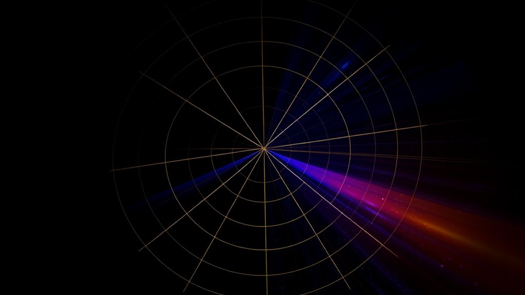

Polar coordinates offer a different way to plot points by using a distance from the origin and an angle from a fixed reference line, making it easier to visualize circles and rotational symmetry. Instead of rectangular x and y values, you work with r (radius) and θ (angle). This method simplifies plotting many shapes and understanding their properties. Exploring further reveals how converting between coordinate systems enhances your ability to analyze and visualize geometric figures more effectively.
Key Takeaways
- Polar coordinates use a radius and angle to specify point locations, offering an intuitive way to plot circular and rotational figures.
- Converting between polar and rectangular coordinates helps visualize points and understand their relationships in the plane.
- Equations like r = constant in polar form directly represent circles centered at the origin, simplifying their graphing.
- Polar coordinates provide a more straightforward approach for plotting points involved in circular and symmetric patterns.
- Using polar coordinates enhances the visualization and analysis of geometric figures beyond traditional x-y plotting.

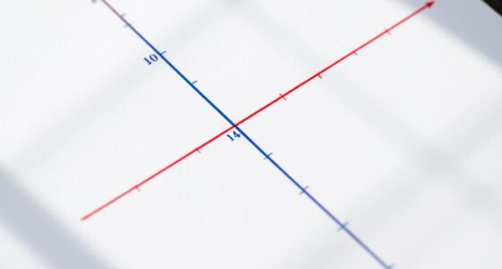
Have you ever wondered how to describe the position of a point in a plane using a different system than the usual x and y coordinates? If so, you’re about to explore polar coordinates—a method that can simplify how you graph circles and understand the relationship between different coordinate systems. Unlike rectangular coordinates, which specify a point’s position with horizontal and vertical distances, polar coordinates use a distance from the origin and an angle from a fixed reference line. This approach can make plotting certain figures, especially circles, much more intuitive.
Discover how polar coordinates simplify plotting circles and understanding point positions in the plane.
When graphing circles in the polar coordinate system, you’ll find it straightforward because many circles can be expressed as simple equations involving the radius and angle. For example, a circle centered at the origin with radius ( r ) is described by the equation ( r = text{constant} ). This simplicity makes polar coordinates particularly useful for visualizing and analyzing circular shapes. If you’re used to working with rectangular coordinates, converting to polar can initially seem tricky, but it becomes easier with practice. You just need to remember the fundamental relationships: ( x = r cos theta ) and ( y = r sin theta ). These formulas allow you to convert from polar to rectangular coordinates, enabling you to see how the two systems relate. Additionally, understanding coordinate transformations can significantly improve your ability to switch between systems.
Converting to rectangular coordinates from polar is essential when you want to analyze or graph points initially given in polar form. Suppose you have a point with coordinates ( (r, theta) ). To find its rectangular coordinates, multiply the radius by the cosine or sine of the angle, respectively. This process helps you visualize where the point lies in the familiar x-y plane. Conversely, if you start with a rectangular equation like a circle, converting to polar can reveal new insights or make graphing easier. For example, the equation of a circle centered at the origin in rectangular form, ( x^2 + y^2 = r^2 ), directly translates to ( r = text{constant} ) in polar coordinates, illustrating the close relationship between these systems.
Understanding how to convert between polar and rectangular coordinates opens up new ways to analyze geometric figures. It allows you to switch perspectives depending on the problem—sometimes rectangular coordinates are more convenient, and other times, polar makes the shape or function more apparent. Whether you’re graphing circles, analyzing curves, or exploring symmetry, mastering these conversions enhances your ability to work with different types of equations and visualizations. Ultimately, polar coordinates offer a powerful alternative to the traditional x and y system, giving you a fresh and often more intuitive way to plot points and understand their positions in the plane.
Frequently Asked Questions
How Do Polar Coordinates Relate to Cartesian Coordinates?
You relate polar coordinates to Cartesian coordinates through circular symmetry and angle measurement. In polar coordinates, a point is defined by its distance from the origin (radius) and the angle from the positive x-axis. To convert, you use sine and cosine functions: x equals the radius times cosine of the angle, and y equals the radius times sine. This way, you translate between the two systems seamlessly.
Can Polar Coordinates Be Used in 3D Plotting?
Imagine you’re exploring a vast galaxy, and you realize you can use cylindrical and spherical coordinates to navigate. Yes, polar coordinates extend into 3D with these systems. Cylindrical coordinates combine radius, angle, and height, while spherical coordinates use radius, inclination, and azimuth. These adaptations help you map points in space just like plotting stars, making 3D plotting more intuitive and dynamic.
What Are Common Applications of Polar Coordinates in Real Life?
You’ll find polar coordinates useful in satellite navigation and radar systems. They help you determine positions and distances more efficiently by representing points with angles and radii. For example, radar systems use polar coordinates to locate objects by measuring angles and distances from a central point. Similarly, satellite navigation relies on these coordinates to accurately pinpoint locations on Earth, making navigation and detection systems more precise and effective.
How Do I Convert Between Polar and Cartesian Coordinates?
To convert between polar and Cartesian coordinates, start by calculating the radius, which is the distance from the origin using the formula ( r = sqrt{x^2 + y^2} ). Then, find the angle by using ( theta = arctan(y/x) ), making sure to adjust for the correct quadrant. For the reverse, convert polar to Cartesian by using ( x = r cos theta ) and ( y = r sin theta ).
Are There Limitations to Using Polar Coordinates?
Yes, polar coordinates have limitations compared to Cartesian systems. They can be less intuitive for plotting certain functions and make representing points near the origin tricky. Additionally, some coordinate systems are better suited for specific applications like navigation or physics, so polar coordinates aren’t always the best choice. You might find them less convenient for complex algebraic operations or when dealing with shapes that are easier to describe in Cartesian coordinates.
Conclusion
Now, imagine plotting a point not on a straight line but on a swirling spiral, where distance and angle dance together. Unlike Cartesian coordinates, polar coordinates let you see the world in curves and circles, turning complexity into beauty. It’s like switching from a flat map to a globe—suddenly, everything becomes more dynamic, more alive. Embrace this different perspective, and you’ll find that plotting points can be as exciting as exploring uncharted territories.