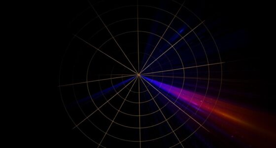

Polar coordinates let you describe points based on their distance from the origin and the angle from the positive x-axis, offering a different perspective from Cartesian coordinates. You plot a point by measuring how far it is from the center and then rotating by a certain angle. This method simplifies working with circles, spirals, and rotational patterns. Keep exploring further to discover how this system can make complex problems easier and more intuitive.
Key Takeaways
- Polar coordinates describe points by their distance from the origin and an angle from the positive x-axis.
- They simplify representing circular and rotational patterns compared to Cartesian coordinates.
- Conversion formulas exist to switch between polar and Cartesian systems, enhancing problem-solving flexibility.
- Visualizing points in polar coordinates involves measuring radius and rotating by the specified angle.
- They are widely used in fields like robotics, signal processing, and physics for analyzing circular or cyclical data.
Understanding the Basics of Polar Coordinates
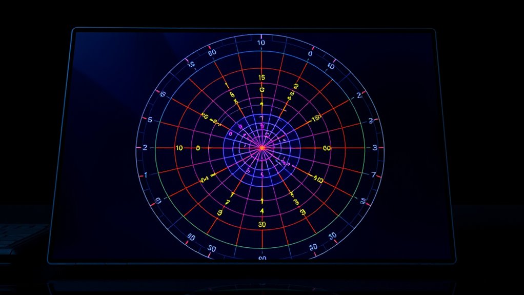
To understand polar coordinates, you first need to grasp how they represent points in a plane differently from Cartesian coordinates. Instead of using x and y axes, polar coordinates describe a point by its distance from the coordinate origin and an angle measurement. The angle is measured from the positive x-axis, moving counterclockwise, which helps you determine the direction of the point. This system makes it easier to work with circular or rotational patterns. The coordinate origins serve as the fixed reference point for both the radius and the angle. By knowing the distance and the angle measurement, you can precisely locate any point in the plane. This approach simplifies many problems involving circles and angles, providing a different perspective on how to navigate the coordinate plane. Understanding how circular patterns relate to the coordinate system can also enhance your grasp of geometry and trigonometry.
Converting Between Cartesian and Polar Systems
Converting between Cartesian and polar coordinates involves applying specific formulas to switch from one system to the other. To find the radius, or the distance from the origin, you use the radius calculation: ( r = sqrt{x^2 + y^2} ). For the angle conversion, you determine the angle θ by calculating ( theta = arctanleft(frac{y}{x}right) ), adjusting for the correct quadrant. When converting from polar to Cartesian, you find x and y using ( x = r cos theta ) and ( y = r sin theta ). These formulas allow you to switch between systems precisely, ensuring you understand a point’s position whether you’re working with x-y coordinates or the radius and angle. This method simplifies many geometric and trigonometric calculations. Additionally, understanding the application timing of these conversions can enhance your problem-solving efficiency in various mathematical contexts.
Visualizing Points in the Polar Plane
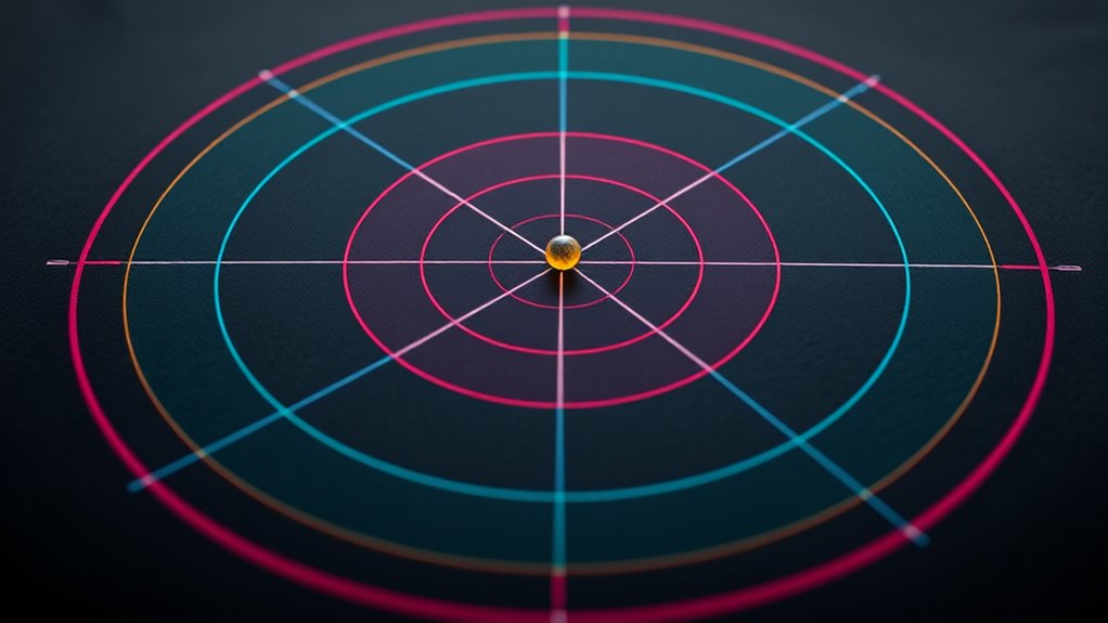
Have you ever wondered how to picture a point in the polar plane? It’s all about polar graphing, where you locate points using a distance from the origin (radius) and an angle measurement. To visualize, start at the origin and measure the radius outward along a ray. Then, rotate from the positive x-axis by the given angle, moving in the correct direction—clockwise or counterclockwise. This method helps you see how points are positioned relative to the origin, making it easier to understand their location. The angle measurement is key, as it determines the direction, while the radius shows how far away the point is. With practice, you’ll develop a clear mental picture of points in the polar plane, simplifying the process of graphing and interpreting data. Additionally, understanding the coordinate system helps you better grasp the relationship between Cartesian and polar coordinates.
Practical Applications of Polar Coordinates

Polar coordinates are widely used in various fields to simplify the analysis of data and phenomena that have circular or rotational symmetry. In robotic navigation, they help robots determine positions and paths around obstacles by converting complex coordinate data into easy-to-interpret angles and distances. This system allows for smoother movement and more accurate environment mapping. In signal processing, polar coordinates are essential for analyzing waveforms and electromagnetic signals, especially when dealing with frequency and phase information. They enable engineers to visualize signals more clearly, making it easier to filter noise or detect patterns. Additionally, in automotive tuning, understanding how to optimize airflow and engine response can benefit from concepts like air intake systems and exhaust flow, which are often analyzed using similar principles. Overall, polar coordinates streamline complex calculations and improve efficiency in applications where direction and magnitude are key, enhancing technological capabilities across multiple industries.
Advantages and Limitations of Using Polar Coordinates
Using polar coordinates offers several advantages that make analyzing circular or rotational data more straightforward. This coordinate system simplifies mathematical modeling of curves like circles and spirals, making calculations more intuitive. It’s especially useful when dealing with problems involving angles and radii, allowing you to represent points efficiently. Additionally, polar coordinates can be particularly effective in fields like AI in Education, where understanding rotational or cyclical patterns can enhance data analysis. However, polar coordinates also have limitations. They can become cumbersome for certain geometries, especially when converting back to Cartesian coordinates, which may introduce complexity. Additionally, the coordinate system isn’t always ideal for all types of data, particularly when dealing with irregular shapes. While polar coordinates excel in handling rotational phenomena, they might complicate analysis in scenarios better suited to rectangular systems. Understanding these advantages and limitations helps you choose the right approach for your mathematical modeling needs.
Frequently Asked Questions
How Do Polar Coordinates Handle Points at the Origin?
When you ask about how polar coordinates handle origin points, you’re touching on coordinate singularities. At the origin, the radius is zero, so the angle becomes undefined. This means the coordinate system struggles to specify a unique point there. You can think of it as a special case where multiple angles correspond to the same point, highlighting how polar coordinates handle origin points differently from Cartesian ones.
Can Polar Coordinates Represent All Types of Curves?
You might wonder if polar coordinates can represent all types of curves. Unlike Cartesian limitations, which struggle with certain shapes, polar coordinates excel with spirals and circles. By using coordinate transformations, you can convert many curves into polar form. However, some complex or irregular shapes may still be challenging, so understanding the strengths and limits of this system helps you choose the best method for describing different curves.
What Is the History Behind the Development of Polar Coordinates?
Pondering the past, you’ll find that polar coordinates’ development dazzled during the age of discovery and scientific strides. Historical context reveals mathematicians like Newton and Descartes contributed to coordinate evolution, shaping how we describe points in space. This innovative system emerged from the need to navigate and understand circular and radial relationships, transforming the way we map, measure, and master the mysteries of the universe.
Are There Software Tools Specifically Designed for Polar Coordinate Plotting?
You’ll find many graphing software and plotting tools that are specifically designed for polar coordinate plotting. These tools allow you to easily create and analyze polar graphs, making complex calculations simple. Popular options include GeoGebra, Desmos, and MATLAB, which all support polar plotting features. With these tools, you can visualize points, curves, and functions in the polar coordinate system effortlessly, enhancing your understanding and presentation of polar data.
How Do Polar Coordinates Relate to Complex Numbers?
Imagine you’re steering a vast, mysterious sea—your ship’s position defined by a magnitude and an angle. In the complex plane, polar coordinates serve like this map, converting your position into a magnitude (distance from origin) and an angle (direction). This conversion simplifies multiplying and dividing complex numbers, revealing their true nature. So, you use polar coordinates to explore complex numbers, making their relationships clearer and more intuitive.
Conclusion
Now that you’ve explored polar coordinates, you’re ready to see how they transform your understanding of space. But this is just the beginning—there’s so much more to discover beyond the basics. Imagine the possibilities as you dive deeper into their applications and limitations. Will you discover new ways to visualize complex data or solve tricky problems? Stay curious—your journey into the fascinating world of polar coordinates is only getting started.