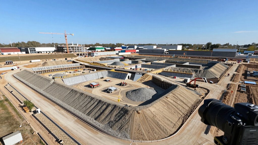

In this case study, you see how precise drone calibration guarantees sensors and cameras capture accurate images, reducing errors. Advanced data processing then organizes and stitches photos into a detailed point cloud, creating an accurate 3D model. Proper calibration and processing work together to improve detail, accuracy, and model quality. If you continue exploring, you’ll discover how these steps streamline workflows and produce highly reliable site representations for construction and planning.

Prime made for students and young adults
- Fast, free delivery for dorm and study essentials
- Prime Video and Amazon Music included
- Member-only deals
Key Takeaways
- Proper drone calibration ensures accurate sensor data, foundational for high-quality 3D site models.
- Data processing techniques align, stitch, and refine images, transforming raw data into a detailed point cloud.
- Creating a mesh and applying textures enhance the model’s realism and geometric precision.
- Combining calibration and advanced processing improves model accuracy, reducing errors and artifacts.
- Well-executed workflow enables reliable site analysis, planning, and decision-making from drone-derived models.
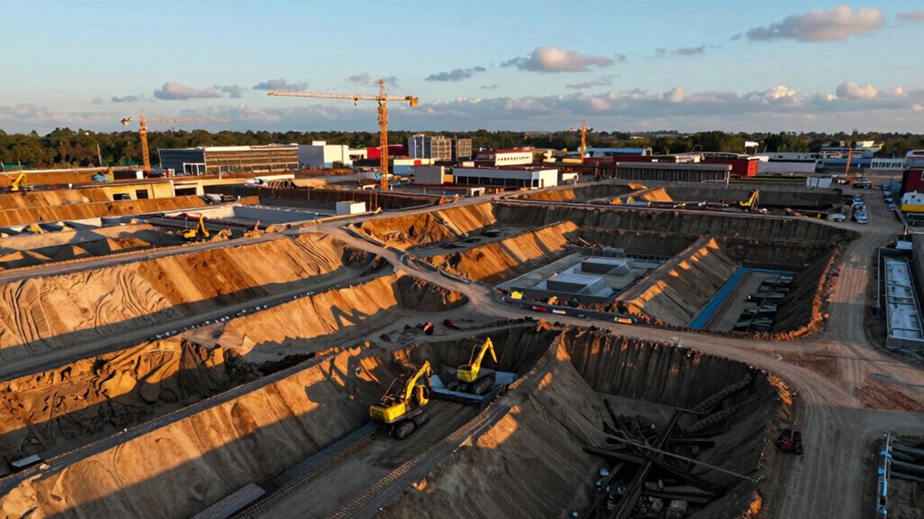
Drones have revolutionized site surveying by capturing high-resolution imagery quickly and safely. When you’re turning this data into a detailed 3D site model, understanding the significance of proper drone calibration is essential. Drone calibration ensures that the sensors, cameras, and navigation systems are functioning accurately, which directly impacts the quality of the data you collect. Regular calibration minimizes errors caused by sensor drift or misalignment, giving you confidence that the imagery is precise. With well-calibrated equipment, the images you gather will align correctly during processing, reducing the need for extensive corrections later.
Once you’ve captured your data, the next vital step is applying effective data processing techniques. You start by organizing and preprocessing the raw images, removing any blurry or obstructed shots that could compromise the final model. Software tools are then used to align and stitch these images together, creating a coherent dataset. This process, known as photogrammetric processing, transforms your 2D images into a dense point cloud, which forms the foundation of your 3D model. The choice of data processing techniques is essential; they determine the accuracy, resolution, and detail of your model. You might use algorithms that filter noise or optimize alignment, ensuring your model reflects the actual site terrain accurately.
As you progress, you’ll generate a mesh from the point cloud, converting it into a tangible 3D surface. This step involves refining the model, removing any artifacts or inconsistencies. You might also apply texture mapping, which overlays the high-resolution images onto the mesh, giving your model realistic surface details. Throughout this process, meticulous attention to data processing techniques ensures your model is not only visually accurate but also geometrically precise. Proper calibration and refined processing techniques work hand-in-hand to produce a reliable, detailed 3D site model that can be used for planning, analysis, or construction management.
Ultimately, the success of turning drone data into a 3D site model hinges on your understanding of drone calibration and data processing techniques. Correct calibration guarantees high-quality imagery, while advanced processing ensures that your data translates into an accurate, detailed representation of the site. By mastering these steps, you turn complex drone data into valuable insights, streamlining your workflow and enhancing project outcomes. Calibration is especially critical because sensor accuracy directly impacts the fidelity of the 3D model you create.
As an affiliate, we earn on qualifying purchases.
Frequently Asked Questions
What Drone Specifications Are Ideal for 3D Site Modeling?
For 3D site modeling, you want a drone with a high-resolution camera payload, such as a 20MP or higher sensor, to capture detailed images. Opt for a drone with stable flight capabilities and sufficient battery life to cover large areas efficiently. Make certain it complies with flight regulations, especially regarding altitude and airspace restrictions, to ensure safe and legal data collection during your project.
How Long Does the Data Processing Process Typically Take?
You might worry about processing times, but with well-calibrated sensors and efficient data integration, it usually takes a few hours to a day. Ensuring proper sensor calibration speeds up processing, as it reduces errors, while smooth data integration helps in creating accurate 3D models faster. The key is to use powerful software and hardware, which minimizes delays and gets your site model ready quickly.
What Software Tools Are Used for Creating 3D Models?
You use software tools like Pix4D, DroneDeploy, or Agisoft Metashape for creating 3D models, focusing on their image processing capabilities. These programs are compatible with various drone data formats, making your workflow smoother. You upload images, process them to generate detailed 3D models, and then refine the results. Ensuring software compatibility helps you efficiently turn drone images into accurate, detailed site models for your projects.
Are There Any Legal Restrictions for Drone Flights in Construction Sites?
Flying a drone over construction sites is like walking a tightrope—balancing safety and legality. You must adhere to regulatory compliance, such as obtaining necessary permits and respecting no-fly zones. Privacy concerns also loom large, so avoid capturing images of neighboring properties without permission. If you follow these rules, you can safely use drones to gather valuable data without risking legal trouble or infringing on others’ privacy.
How Accurate Are the Final 3D Site Models Compared to Actual Measurements?
You can expect the final 3D site models to be highly accurate, often within centimeters of actual measurements. Proper sensor calibration guarantees precision, minimizing errors, while sufficient data overlap during drone flights captures complete, detailed imagery. This combination helps create reliable models that reflect real-world dimensions accurately, making them ideal for planning, monitoring, and decision-making on construction sites.
As an affiliate, we earn on qualifying purchases.
Conclusion
By transforming drone data into a detailed 3D site model, you open a new domain of precision and insight—making complex projects feel as easy as a breeze. This technology isn’t just a tool; it’s your ultimate game-changer, turning what once took weeks into mere hours. Embrace these innovations, and watch your efficiency skyrocket beyond the clouds. With drone-powered 3D modeling, you’re not just keeping up—you’re redefining what’s possible in construction and surveying.
photogrammetry processing software
As an affiliate, we earn on qualifying purchases.
As an affiliate, we earn on qualifying purchases.
drone sensors and camera calibration kit
As an affiliate, we earn on qualifying purchases.
As an affiliate, we earn on qualifying purchases.
Fall Picks
fall essentials
As an affiliate, we earn on qualifying purchases.